filmov
tv
Complete DGPS Survey Tutorial | Leica GS18 RTK | Full Setup & Practical Video of DGPS Surveying

Показать описание
We are here with a Practical video on DGPS RTK. We have used DGPS of LEICA Model GS 18 which is fitted with RADIO system. Here we have shown BASE and ROVER setup and how to Collect topography data by DGPS RTK method, how to Import points, Export points, Code change, delete points, automatic record points etc. Video Location: India, Tawang. Watch this video full for better knowledge in DGPS RTK. In this description I will tell what is in this video step by step:
1) Setting up BASE and ROVER in Leica DGPS GS 18 RTK
Centering and Levelling done with TRIPOID for BASE Station. Setting up TRIBRACH and Carrier over the tripod. Setting up the ROVER along with RTK Pole. Now Powering on both BASE and ROVER and connecting them with the Controller one after other.
After initialization survey work can be started.
2) Collection of Topo Data in Leica DGPS GS 18 RTK
We have taken sample Road topography data and some POINT data on ground objects.
3) Importing data & StakeOut! in Leica DGPS GS 18 RTK
How to import data points and stakeout them? I created a Project where I imported data. As per my data: UTM 46 NORTH is the zone, as per this I setup my job with UTM coordinate system.
4) Modifying data in Leica DGPS GS 18 RTK
4) Exporting Data in CSV / DWG / ASCII / DXF format
I have shown how to export these points in different format.
LIKE COMMENT SHARE
SUBSCRIBE OUR CHANNEL
THANK YOU
WATCH OUR OTHER VIDEOS.
Special Thanks to:
Pulin Saikia
Dushmanto Saikiya
Chapters:
0:25 Setting up BASE and ROVER of Leica DGPS GS 18 RTK
17:54 Data Collection of Topo Data by DGPS RTK in Leica DGPS GS 18 RTK
25:14 Organize data DELETE or modify in Leica DGPS GS 18 RTK
26:12 Automatic Data record/ Auto mode in Leica DGPS GS 18 RTK
29:34 How to close survey in Leica DGPS GS 18 RTK
31:18 Importing data in a project & Stakeout in Leica DGPS GS 18 RTK
35:50 Exporting Data of a project from Leica DGPS GS 18 RTK
39:47 Bonus Clip of Leica DGPS GS 18 RTK
DGPS Survey practical
DGPS Survey Tutorial
Leica DGPS
DGPS RTK
Leica DGPS GS 18 Model
How to use DGPS
DGPS Field Survey
DGPS Surveying
________________________________________________________________________
Join our channel and show some support:
Your little support will boost our potential to serve you more educative contents.
If you think this tutorial is helpful please Like & Share this video and Subscribe our channel to get free updates
With best wishes
S. Samanta
for L&E Team!
 0:55:21
Complete DGPS Survey Tutorial | Leica GS18 RTK | Full Setup & Practical Video of DGPS Surveying
 0:02:55
How to do DGPS Survey, Make file and Data collect
 0:27:05
Theory of DGPS! Principal & Methodology | Every SURVEORs Should Know This!
 0:20:13
Complete DGPS Survey Tutorial | Full Setup & Practical Video of DGPS Surveying #dgps #gps #surve...
 0:11:34
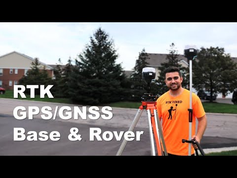
RTK GPS/GNSS with Base and Rover
 0:03:38
A short tutorial on how to set up a differential GPS
 0:03:01
Complete DGPS Survey Tutorial ! Full Setup & Practical Video of DGPS Surveying ! &Process Li...
 0:01:11
A brief introduction of Versatile RTK- SOUTH G7
 0:01:43
What is Real-Time Kinematic (RTK) and how does it work?
 0:04:40
DGPS SURVEY FULL TUTORIAL || How it works || online survey || complete video || #gkvlogs #gagankumar
 0:20:40
GPS Surveying and DGPS
 0:19:02
R12i Tutorial: Complete Video Series
 0:17:10
Total Station vs. GNSS Receiver: Which is the Better Surveying Tool?
 0:32:11
DGPS Survey Practical by RTK Method using CHCNAV i50/i80 DGPS
 0:01:01
Complete DGPS Survey Tutorial | EFIX R7 RTK | Full Setup & Practical Video ..
 0:14:54
Trimble R8 Full Training In Urdu/Hindi //Surveying GPS Training In Hindi Tutorial
 0:20:20
Complete DGPS Survey Tutorial I Satlab Dgps RTK I Full Setup & Pratical Video of DGPS Surveying
 0:00:12
SOUTH DGPS RTK FIXED UNDER HIGH DENSITY TREES
 0:05:24
DGPS survey Instrument Explained.
 0:00:41
How CHC DGPS is Revolutionizing the Create Job
 0:00:16
Railway Survey using DGPS
 0:00:16
about DGPS survey instruments #landsurveyor
 0:00:16
Topographic Survey By DGPS Instrument || DGPS Survey with fun 🤩
 0:04:53
Surveying: Turning The Perfect Right Angle
Комментарии