filmov
tv
Using PDAL Wrench for Processing Point Clouds from the Command Line

Показать описание
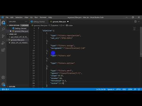
Together with the QGIS Processing tools for processing point clouds, also PDAL wrench became available. This can be used to process point clouds using command line commands and makes it easier to automate procedures.
QGIS version: 3.32 Lima
0:00 Introduction
1:30 Setup PDAL wrench
2:55 Create a Virtual Point Cloud layer from tiles
3:30 Clip the VPC with a polygon layer
4:16 Interpolate point cloud to raster using TIN
5:20 Merge point cloud tiles into one LAZ file
5:46 Clip LAZ file with a polygon layer
#qgis #pointcloud #3d
 0:06:53
Using PDAL Wrench for Processing Point Clouds from the Command Line
 0:17:16
Lidar Point Cloud to DEM (or raster) with PDAL
 0:21:49
2023 | State of PDAL - Michael Smith
 0:23:44
Point cloud processing in QGIS 3.32: a practical overview for LiDAR data
 0:42:15
Processing LiDAR data in QGIS 3.32 - The latest QGIS improvements to point cloud capabilities
 0:21:05
FOSS4GE 2024 | State of PDAL
 0:23:55
2019 - Exploiting PDAL + Entwine in the wild
 0:02:22
GIS: pdal
 0:27:23
PDAL installation, pipelines and a bare-earth model
 0:06:19
PDAL 2016 development with gource
 0:01:58
GIS: Converting .las to .pcd file using PDAL? (2 Solutions!!)
 0:04:55
Install PDAL for Python
 0:01:49
GIS: Formating PDAL Pipeline JSON for crop filter
 0:02:41
GIS: How to write multiple .las files from polygon clipping with PDAL?
 0:37:13
Feature-Preserving Point Cloud Simplification with Gaussian Processes
 0:12:46
What's new in QGIS 3.32 - LIDAR PROCESSING
 0:06:13
Create and Use Virtual Point Clouds in QGIS
 0:03:50
Introduction
 0:01:29
GIS: Creating filter stage of type filters.height using PDAL?
 0:02:12
Splitting LAS file into smaller LAS files by shapefile geometry boundaries - using PDAL
 0:25:19
FOSS4GE 2024 | QGIS 3D and point clouds enhancements
 0:00:21
Geometry-based point cloud compression (G-PCC)
 0:24:56
UC 2024: Working with Point Cloud Data in QGIS (Kurt Menke)
 0:00:50
IT PhD Pitch 2023 | André Guarda: Deep Learning-Based Point Cloud Geometry Coding
Комментарии