filmov
tv
Vector Geoprocessing in ArcGIS Pro: Buffer & Overlay
Показать описание
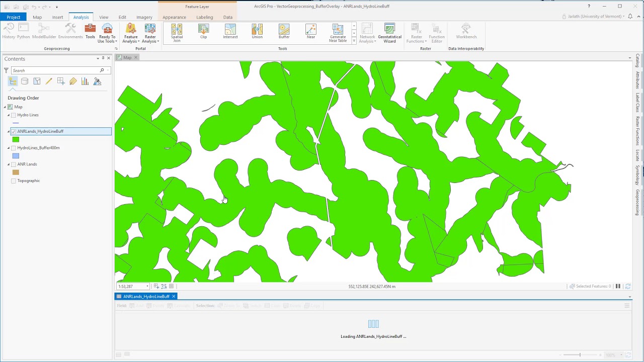
The video shows an example in which proximity and overlay geoprocessing tools are used for a rudimentary habitat assessment. The following geoprocessing tools are used: Buffer, Intersect, Union.
 0:05:48
 0:07:26
 0:15:31
 0:10:27
 0:48:21
 0:08:55
 0:04:30
 0:04:46
 0:05:42
 0:02:27
 0:56:53
 0:01:28
 0:09:46
 0:05:50
 1:17:54
 0:01:51
 0:06:19
 0:02:21
 0:04:37
 0:03:09
 0:01:03
 1:15:45
 0:02:15
 0:17:22