filmov
tv
NASA Data Made Easy: Part 5- SERVIR Land Use Change Detection & Forest Stand Height Estimation w/SAR

Показать описание
Note: This video series is part of a workshop presented during the Geological Society of America (GSA) Annual Meeting 2021. This workshop video walks users through several use cases on detecting land-use change and estimating forest stand height using SAR data. SERVIR demonstrates accessing and running scripts in Google Earth Engine.
.
.
 0:09:29
NASA Data Made Easy: Part 1- Introduction to NASA Data
 0:06:39
NASA Data Made Easy: Part 1- Tools for the Ecological Data Revolution
 0:11:51
NASA Data Made Easy: Part 1- Introduction to NASA Data (GSA Annual Meeting 2021)
 0:16:40
NASA Data Made Easy: Part 2- Introduction to SAR
 0:12:14
NASA Data Made Easy: Part 2- Earthdata Resources for the Ecological Revolution
 0:20:18
NASA Data Made Easy: Part 4- Earthdata Resources
 0:10:17
NASA Data Made Easy: Part 3- ORNL DAAC's Tools for Ecological Research
 0:18:31
NASA Data Made Easy Workshop: Part 2- Introduction to SAR (GSA Annual Meeting 2021)
 0:03:56
Climate Ninjas - 2024 NASA Space Apps Challenge
 0:15:30
NASA Data Made Easy: Part 5- Geospatial Services for Ecological Research
 0:48:24
NASA Data Made Easy: Part 6- Flood Mapping in a Geographic Information System
 0:21:12
NASA Data Made Easy Workshop: Part 3- SAR Datasets (GSA Annual Meeting 2021)
 0:21:54
NASA Data Made Easy: Part 3- All About SAR Datasets
NASA Data Made Easy: Part 5- SERVIR Land Use Change Detection & Forest Stand Height Estimation w...
 0:18:30
NASA Data Made Easy: Part 4- LP DAAC's Tools for Ecological Research
 1:10:53
NASA Data Made Easy: Part 5- Earthquake Use Case, InSAR with Geogateway
 0:49:47
NASA Data Made Easy Workshop: Part 4- InSAR Workflow (GSA Annual Meeting 2021)
 0:00:22
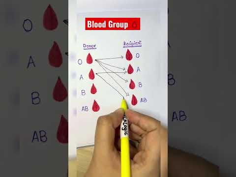
Blood Group 🩸
 0:10:44
MY NASA DATA
 0:00:26
What if Titan Clock Man was in episode 025
 1:31:53
Delta-X Uninhabited Aerial Vehicle Synthetic Aperture Radar (UAVSAR), Part I
 0:00:55
Simplify and Streamline your Data Workflow with AppEEARS!
 2:02:42
NASA ARSET: Introduction to Population Grids and Their Uses, Part 1/2
 1:31:05
NASA ARSET: Accessing and Analyzing SIF Data for Vegetation Studies, Part 4/4
Комментарии