filmov
tv
Using Pix4Dfields for agricultural mapping with drones

Показать описание
Using Pix4Dfields for agricultural mapping with drones. Scholar Farms tests Pix4Dfields for color mapping using the example dataset from a wheat field captured with the S.O.D.A. camera on a Sensefly eBee. This is a rapid photogrammetry tool from Pix4D for generating UAV maps on farms, such as NDVI or prescription maps for precision agriculture.
 0:01:19
Using Pix4Dfields for agricultural mapping with drones
 0:04:50
PIX4Dfields - How to map your crop in minutes (in-field tutorial)
 0:18:39
How to use DJI Mavic 3 Multispectral | PIX4Dfields in-field Tutorials
 0:01:54
How to spot spray with your tractor | PIX4Dfields
 0:05:35
Green on Brown Spot Spraying - Mapping fallow weeds with PIX4Dfields
 0:10:41
Prescription maps for Variable Rate Application | PIX4Dfields Tutorials
 0:05:05
PIX4Dfields - BYOD - Bring Your Own Drone ( in-field video tutorial)
 0:07:02
Zonation and Prescriptions in PIX4Dfields | PIX4Dfields Beginner Tutorials
 1:08:09
How to have a successful season with a complete agricultural drone mapping solution
 0:04:38
PIX4Dfields - How to calibrate drone cameras for mapping crops (in-field tutorial)
 0:24:17
Mapping and Spraying Fields with Mavic, Pix4D, and T50
 0:00:51
PIX4Dfields
 0:11:46
Spot spraying prescription maps for DJI Agras, XAG and Tractors
 0:00:59
Crop Monitoring: Export And Analyze Maps In Pix4D Fields
 0:04:30
Mapping a Field with a Multispectral Drone | DJI Mavic 3M | Maverick Agriculture
 0:05:48
Pix4D Fields Demo: the Precision Agriculture Real-Time Workflow
 0:12:56
How to create RTK field boundaries with DJI Mavic 3 Multispectral and PIX4Dfields
 0:03:04
PRESCRIPTION MAPPING PART 1 | CREATING NDVI INDEX ON PIX4D FIELDS
 0:01:00
Creating Spot Spraying Maps with the Mavic and Pix4Dfields #spraydrones #dji #pix4d #agrispraydrones
 0:25:31
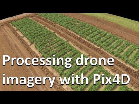
How to process RGB and multispectral drone imagery in Pix4D (Drones in agriculture series, 2/7)
 0:06:00
Introduction to PIX4Dfields
 0:11:13
PIX4Dfields - Spot spraying with PIX4Dfields (outdated - please read description)
 0:02:41
How to | Pix4Dfields | Create A NVDI Index For Agricultural Drones
 0:01:04
Precision agriculture with multispectral technology and Pix4Dfields
Комментарии