filmov
tv
Vector and Raster Data in GIS || Difference between Vector and Raster Data @bestsolutionline
Показать описание
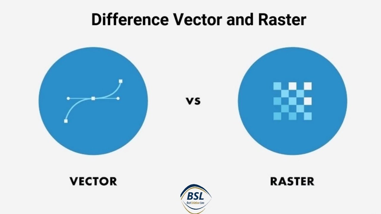
This tutorial is about to Explore the fundamental distinction between vector and raster data in Geographic Information Systems (GIS). In this video, we break down the key characteristics of vector data, which represents spatial information using points, lines, and polygons, and raster data, which uses a grid of pixels to convey information. Discover how each data type is used, their advantages and limitations, and gain a clearer understanding of their role in GIS applications. Whether you're new to GIS or looking to deepen your knowledge, this video provides insights into the core concepts of vector and raster data.
For more ArcGIS @BestSolutionLine Tutorials please click the following links:
For more ArcGIS @BestSolutionLine Tutorials please click the following links:

Vector vs Raster Data - GIS Explained

A brief introduction to GIS Data: raster and vector

Vector vs Raster Data (Explained in 1 Minute)

Understanding Vector vs Raster data for GIS

Vector vs Raster Graphics | Buddy Media

Illustration of Raster and Vector Data Structure Models with EXAMPLES

Vector and Raster Data (points, lines and polygon etc.) in GIS || Topic 3 || Full details

Raster and Vector data in GIS | Difference | ArcGIS tutorial

GIS 2- Vector and Raster Data in GIS

GIS: Data Type and Data Structure: Spatial, Non Spatial, Raster and Vector

Vector and Raster Data Models

GIS Concepts 1 - Vector and Raster Data

Raster and Vector Data ।।। #gis #raster #vector #data #qgis #arcgis

Introduction to QGIS Importing vector and raster layer, Tutorial 1

Compare raster and vector data models

Vector and Raster Data in GIS || Difference between Vector and Raster Data @bestsolutionline

Loading local vector and raster data into geemap without coding

Difference Between Raster and Vector!

QGIS: Loading and exploring vector and raster data

Learn more about raster and vector map data

Raster data models and comparisons with vector

How to import vector (e.g; Shapefile) and raster data (e.g satellite images) into ArcGIS

Clip Tools for Vector and Raster Data in ArcMap

A brief overview of vector and raster file formats for GIS
Комментарии