filmov
tv
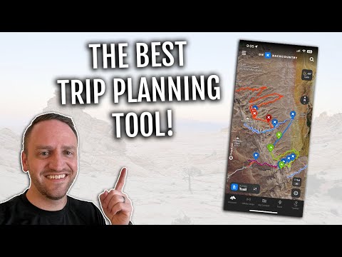
onX Backcountry: Master The App

Показать описание
Learn how to make the most of the onX Backcountry app in our latest Masterclass. Join us as we showcase how to use Route Builder to craft an on trail and off trail route, estimating distance and time, and using the app in the field to navigate. Get ready to lace up your hiking boots for a Masterclass that's bound to level up your outdoor adventures!
0:00 - Introductions
5:34 - onX Backcountry Demo
52:11 - Taking Your Route into the Field
1:01:49 - Preparation & Reflection
1:14:12 - Q & A
#onxbackcountry #hiking #mapping
0:00 - Introductions
5:34 - onX Backcountry Demo
52:11 - Taking Your Route into the Field
1:01:49 - Preparation & Reflection
1:14:12 - Q & A
#onxbackcountry #hiking #mapping
 1:20:52
onX Backcountry: Master The App
 0:07:52
How to Use onX Backcountry for Hiking
 0:50:45
Masterclass: onX Backcountry 101 - Master the App
 0:20:18
How To Use OnX Backcountry To Plan Backpacking Trips!
 0:05:47
How To Use onX Backcountry for Skiing
 0:02:23
onX Backcountry Tutorial: Recent Imagery
 0:10:04
I Used onX Backcountry for 2 Years — Here’s What Shocked Me
 1:36:22
onX Backcountry Masterclass: Master The App Snow 101
 0:00:51
How To Plan Your Next Day Hike with onX Backcountry
 0:58:00
Masterclass: onX Backcountry 101—Master the App in Snow with Griffin Post
 0:00:16
onX Backcountry - New Standard in Backpacking GPS
 0:00:16
onX Backcountry - New Standard in Hiking GPS
 0:00:40
Off Trail Navigation w/ OnX Backcountry!
 1:14:41
onX Backcountry Masterclass: How To Achieve Your Objective in One Push Featuring Kaytlyn Gerbin
 0:00:29
Save 30% on onX Backcountry Premium or Elite | Summer Sale #onxbackcountry
 0:01:01
onX Backcountry - All in for Outdoors
 0:00:36
Introducing: Recent Imagery
 0:00:15
Navigating Stewardship with onX Backcountry
 0:46:55
Unlock the Zone: Rocky Mountain National Park - onX Backcountry Masterclass
 0:29:39
Planning A Ski Tour with onX Backcountry - A Guide's Perspective
 0:20:48
Trip Planning Tools Every Backpacker Should Know
 1:16:05
Masterclass: Mapping The Fifty with @CodyTownsend - onX Backcountry
 1:10:36
Masterclass: Find Better Ski Lines with Beacon Guidebooks | onX Backcountry
 0:01:19
How To Use The Slope Aspect Layer with @CodyTownsend | onX Backcountry
Комментарии