filmov
tv
Create location tracking Android App by exchanging location information over Firebase database.

Показать описание
This video shows the steps to setup the location listener in your App's java code. It uses Google Maps API Key to get the google maps in your App. It registers the location listener using the location manager which uses the phone's system service to get location service. This location service is responsible to get the current location of the device/ phone and display it on the edit text boxes - latitude and longitude respectively. It uses both GPS and NETWORK information to get the precise coordinates of the location.
Then it gives an Update button which is responsible to update the location information to the Firebase database. How to configure the Firebase database for your Android Application is shown in details. Though in this App it uses a button to update the database, but the database update can be automated using any desired concept by the App developer.
Finally in the map it shows/ displays the latest location updated in the database. It fetches the database'' data on any change of data and extracts the required information from the datasnapshot variable. A bit of text processing id done to extract only the latest latitude and longitude updated in the database. The information of the latest latitude and longitude is used to move the camera on the map and put the marker accordingly.
Complete project source code of this tutorial is available at:
 0:49:53
Create location tracking Android App by exchanging location information over Firebase database.
 0:23:39
How to design a location tracking App using GPS in Android Studio - source code?
 0:13:18
How To Create Location Tracking App in MIT App Inventor
 0:09:08
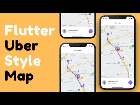
Flutter Google Map With Live Location Tracking
 0:27:41
android studio location tracking app
 0:01:49
GPS Tracker Tracking App for Android/Iphone for free!
 0:01:12
Transport Tracker Solution for Google Maps
 0:01:06
How to create vehicle Tracking app in android studio using Java.(Demo)
 0:05:44
Build a Food Delivery App | Customer, Rider & Restaurant Apps Part 4: Jetpack Compose | Android
 0:06:29
Top 6 Family Location Tracking Apps for Android&iPhone 2024
 0:39:20
Flutter Google Maps Tutorial | Location Tracking, Maps, Markers, Polylines, Directions API
 0:07:46
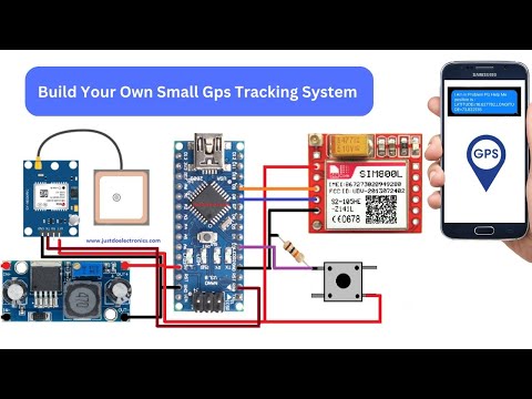
Build Your Own Small Gps Tracking System
 0:17:57
Foreground Service Background Location Tracker | GPS Tracking App Tutorial
 0:00:14
Real Time Employee Location Tracking and Monitoring
 0:13:38
Real-Time GPS User Tracking Geolocation API JavaScript Programming
 0:22:06
How To Make Google Map Live Location Tracking App From Scratch in Flutter
 0:05:27
7 of The Best Employee GPS Tracking Apps
 0:13:55
Using Google maps API for live Location Tracking Application in android
 0:07:51
Google Map Live Tracking Tips - Share your real-time location with others
 0:00:56
Location sharing tips. Location tracking tricks. #shorts
 0:00:15
GPS Tracking
 0:11:11
How to create Location tracking And GEO Location(Lat and Long) App using MIT App Inventor- Tutorial
 0:00:52
Build an employee tracking app
 0:12:45
DIY LoRa Based Low Power GPS Tracker | Live Location Tracking in Google Maps
Комментарии