filmov
tv
Volumetric Quantity Surveying with Drones

Показать описание
Join me on Social Media:
Chapters:
0:00 Intro
0:44 Setting Ground Control
1:07 Collecting Images with Drone
3:01 Processing Data
5:03 Correct Reference Points
5:56 Analyzing Data
6:45 Surface/TIN Creation
9:22 Volumetric Calculation
About Professor Rami Tamimi:
Rami Tamimi is an American doctorate student at The Ohio State University working towards his Doctor of Philosophy in Geodetic Engineering. With over 8 years of experience in the Land Development Industry, his experience revolves around traditional field surveying, civil design work using AutoCAD Civil 3D, and geospatial technology including LiDAR, SONOR, and Photogrammetric data acquisition and processing with the use of Unmanned Aircraft Systems or Drones. He is also a University Professor and creates instructional video content on YouTube.
#volumesurvey #dronesurvey #dronemapping
 0:11:15
Volumetric Quantity Surveying with Drones
 0:18:10
Volumetric Quantity Surveying with Total Station
 0:06:09
How to Measure Stockpile Volumes using Drones? | Cut & Fill Calculations | Drone Mapping
 0:00:24
Volume measurement of stockpiles/aggregate using drone technology
 0:11:33
How to DO a Volume Survey by Drone
 0:01:09
Volume Calculation by Aetos Drones
 0:00:31
Volumetric Survey
 0:00:26
Volume Calculator based on drone pictures
 0:04:21
Drone Surveying for Construction - Photogrammetry & Mapping
 0:08:00
Stockpile Volume Surveying | Photogrammetry | Drones | Rekon Solution Inc
 0:16:55
How to calculate cut and fill volume using Drone Data? #stockpile #photogrammetry #dronemapping
 0:16:39
Job Shadow: Drone survey & stockpile volume measurements
 0:02:45
Volume measurement, drone survey
 0:01:17
Drone Based Stockpile Volume || Aggregate Survey || Cut-Fill Volume Survey || AZ NavTeq
 0:09:43
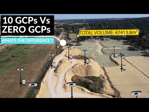
The Purpose of Ground Control Points, Volume of Stockpile With 10 GCPs Vs 0 GCPs | Aerial Surveying
 0:08:23
How to Conduct Volumetric Measurement of a Water Body Using Drone Mapping
 0:06:01
Scale Survey efficiency using Drones in Oman
 0:02:22
Accurate Stockpile Volume Calculations for Material Management Plan Quickly!
 0:00:55
Surveying stockpiles with a drone is crazy... 🚁 #shorts
 0:00:31
Trihydro UAS: Volumetric Surveying
 0:00:26
DroneWorks - Stockpile Volume Calculations
 0:00:25
Volumetric UAV survey for aggregates industry - DroneXperts
 0:01:48
Unlocking Construction Efficiency: Drone Based Stockpile Volume Surveys
 0:03:12
Arc Scene - Volume Cut and Fill - UAV Aerial Survey
Комментарии