filmov
tv
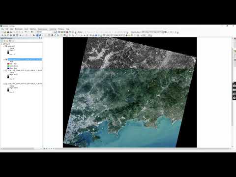
Extract Urban Built Up Area Footprint from SAR Data Using ESA SNAP. Part 2 Coherence Analysis

Показать описание
How to extract Built Up Area or Urban Footprint from SAR Data ( Sentinel 1 SAR ) using ESA SNAP. This is the second part of the SAR Analysis for urban mapping that I made for this channel. This time I will exploit SAR coherence to map the built up area
 0:17:38
Extract Urban Built-up Area (Urban Footprint) from SAR Data in the SNAP (Sentinel-1)
 0:07:45
Extract Urban Built Up Area /Footprint from SAR Radar Imagery (Pt 1. Speckle Divergence Method)
 0:27:23
Extract Urban Built Up Area Footprint from SAR Data Using ESA SNAP. Part 2 Coherence Analysis
 0:03:46
NDBI Calculation Using Landsat | Urban Built-Up Area Extraction in ArcGIS
 0:08:42
Download Latest Building/Built Up Area (Point or Polygon Shapefile) for any Location
 0:06:44
How to Extract Builtup Area from Landsat 8 OLI image using ArcGIS
 0:26:42
Google Earth Engine Tut-99| Sentinel Built-up Area Extraction Index - Some Promise |View From Space
 0:07:35
Extract your City data like Road, building and other features from Open Street Map in QGIS
 0:55:01
Land use Land cover change Using Google Earth Engine
 0:29:08
Earth engine Training on Determine of Built-up area using Remote sensing in Google earth engine
 0:11:23
Mapping urban sprawl in Nashville, tn using the built-up area extraction index (BAEI) from 1990-2020
 0:36:36
Urban area extraction using satellite images
 0:35:58
Google Earth Engine Tutorial-27: Urban Built-up Mapping and Monitoring
 0:02:45
BUILTUP AREA EXTRACTION WITHIN FEW SECONDS USING GARUDALYTICS SMART MAPPING
 0:05:06
Spatio-temporal Variations by Extracting LULC classes separately | ArcGIS Tutorial
 0:10:56
Mapping Built-Up and Bare Land in an Urban Area Using EBBI on Google Earth Engine
 0:11:05
Spectral built-up indices for impervious built-up extraction using Sentinel-2A MSI imageries in GEE
 0:04:50
NDBI | How to Calculate Normalized Difference Built-up Index in ArcGIS
 0:32:56
Google Earth Engine Tut-101| Developing our Own Building/Urban Index using Sentinel| View From Space
 0:02:18
Hollywood Laser & Extraction - Back at it with the Voiceover Guys 🗣️🥼✅
 0:04:47
How a Navy SEAL Clears a Room | Close Quarters Combat CQC | Tactical Rifleman
 0:00:41
Extract 3D Content From Google Earth
 0:07:52
How to use Deep learning model in ArcGIS Pro to extract Trees and Building
 0:11:44
Enhanced Built-Up and Bareness Index (EBBI) for Mapping Built-Up and Bare Land Using GEE
Комментарии