filmov
tv
3 - Create Shapefile From List of Coordinates with Arcpy and Python Garmin API

Показать описание
Learn how to work with the Garmin API
In this video we create a shapefile from the coordinate lat/long data in the Garmin file using Arcpy that comes with ArcGIS Pro
Code and Notes Available on GitHub -
In this video we create a shapefile from the coordinate lat/long data in the Garmin file using Arcpy that comes with ArcGIS Pro
Code and Notes Available on GitHub -
 0:05:52
QGIS Create Shapefile || Shapefile Layer in QGIS
 0:04:38
Creating a new shapefile or geodatabase feature class in ArcGIS Pro
 0:06:30
3 - Create Shapefile From List of Coordinates with Arcpy and Python Garmin API
 0:08:23
3 How to create shapefile in QGIS #shapefile #QGIS #point_shapefile #line_shapefile #polygon
 0:05:42
Making a new polygon shapefile in ArcMap
 0:04:55
QGIS 3: Make a new Shapefile (shp) and make Polygons.
 0:06:45
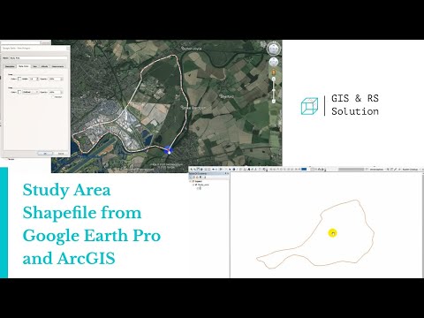
Creating Study Area Shapefile from Google Earth and ArcGIS
 0:08:19
QGIS Create a shapefile and add points (Version 3.x)
 0:10:01
How to Create and Edit Shapefiles in Arc GIS
 0:01:29
how to clip a shapefile in arcGIS
 0:07:21
How to create shapefiles in Qgis - Qgis for Beginners #3 #shapefiles
 0:11:58
ArcMap Intro - 3 Creating Polygon shapefile
 0:02:57
How to Extract Smaller Areas From A larger Shapefile in QGIS
 0:07:03
Shapefile from Google Earth to GIS || Study Area Extraction from Google Earth and export to ArcMap
 0:06:34
Creating / Editing Shapefiles in ArcMap
 0:09:58
How to Create WebGIS / WebMap Using Leaflet and Javascript: #3 Load Shapefile Data
 0:01:10
Export Selected Layer of Shapefile from QGIS
 0:17:14
Study Area Mapping | Create Map Layout in ArcGIS
 0:03:09
GIS: Making shapefile from Pandas dataframe? (3 Solutions!!)
 0:03:40
How to download any shapefile map [For City or Country]
 0:08:07
3 FREE Digimap Alternatives for Site Analysis and Site Plans
 0:14:25
Tutorial N° 3 : Create shapefile using QGIS / Création des couches sous Qgis
 0:04:40
How to create Shapefile in Qgis 3 36 1
 0:04:00
GeoPandas Part 3: Creating a shapefile
Комментарии