filmov
tv
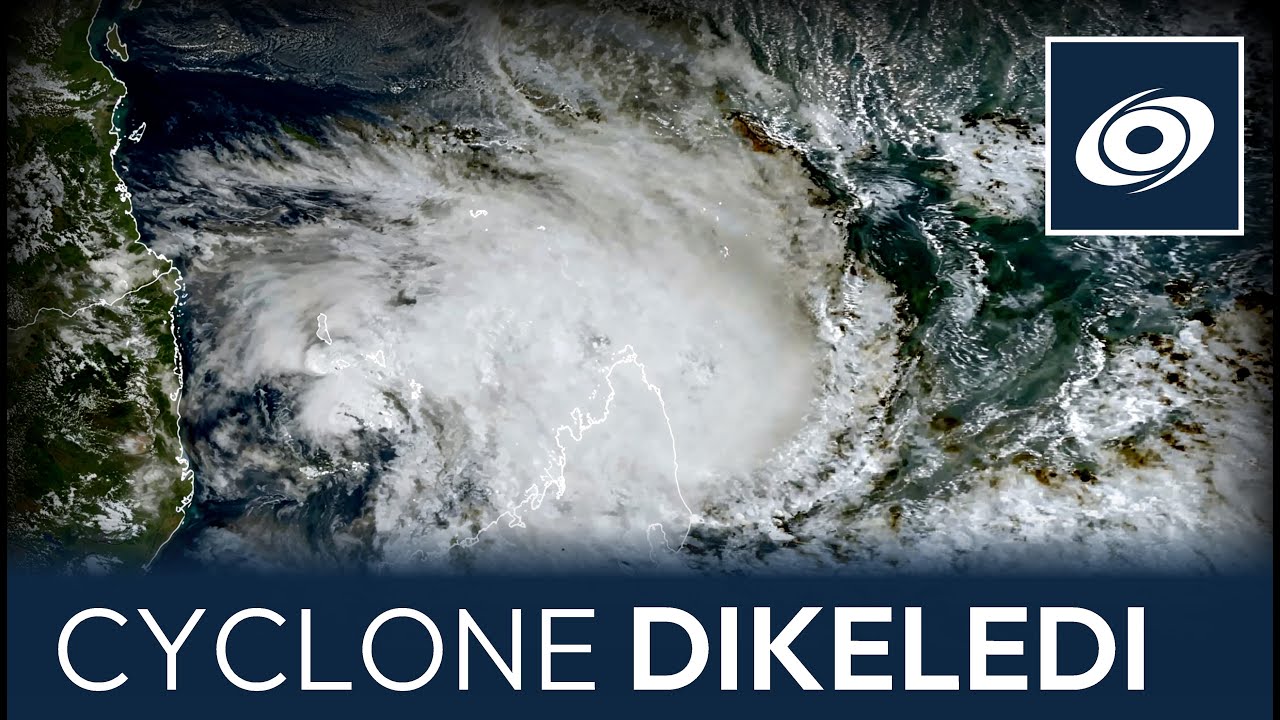
Cyclone Dikeledi strikes Madagascar - Mayotte is next

Показать описание
Cyclone Dikeledi finally found another gear this morning, and has strengthened to hurricane equivalent status with winds near 80 miles per hour (125kph). The storm is making landfall in northern Madagascar, south of the city of Antsiranana. Dikeledi will push through and lose some strength as it does so, but heavy rainfall is likely to cause flash flooding with up to 300mm expected to fall tonight.
Dikeledi is also expected to affect Mayotte, which itself was impacted heavily by Cyclone Chido last month. Rainfall could reach 300mm whilst a direct hit cannot be ruled out with winds near hurricane force. However, it is more likely that the storm will pass to the south and that the island will avoid the strongest winds.
Great uncertainty still remains over the future track of the storm, even as far as the three day period. The GFS is still offering a solution taking the storm almost directly into Mozambique, near Nacala, which would favour weakening as the storm tangles with the coastline and a less strong storm after it moves southwards into the wider Mozambique Channel. However, if the storm misses it is likely to carry a lot more strength as it turns polewards west of Madagascar. In the long term, whilst a straightforward curve beyond southern Madagascar is most likely, some model ensembles are calling for the storm to be more of a challenge in its track and stalling in the area, which could implicate central Mozambique and Madagascar from an uncertain future track.
Support us by using all of our outlets below! ↓
Комментарии
 0:08:59
 0:08:44
 2:44:44
 0:01:30
 0:00:25
 0:00:21
 0:01:23
 0:00:21
 0:00:23