filmov
tv
Clipping Image Collections Using Shapefiles in Google Earth Engine -Tutorial

Показать описание
One of the most challenging aspects of Google Earth Engine is managing the size of image collections. Remotely sensed images, by nature, are large. But what if you want to clip images so they are smaller and concentrated within a study area?
To solve this problem I've put together a script you can find here:
Github script here:
#geospatial #gis #googleearthengine #datavisualization #javascript
To solve this problem I've put together a script you can find here:
Github script here:
#geospatial #gis #googleearthengine #datavisualization #javascript
 0:01:42
Clipping Image Collections Using Shapefiles in Google Earth Engine -Tutorial
 0:13:51
Google Earth Engine - Importing Datasets and Clipping Images
 0:01:29
how to clip a shapefile in arcGIS
 0:02:17
how to clip Landsat images in google earth engine
 0:05:32
Importing GIS shapefiles into Google Earth Engine
 0:15:32
Import Study Area shapefile & Clip Raster layer in Google Earth Engine
 0:02:21
GIS: Clip image collection to imported shapefile (region of interest)?
 0:04:34
Google Earth Engine: clip image into multiple regions defined by a shapefile and name the output...
 0:59:30
Unsupervised Learning for Land Cover Classification in Satellite Imagery using Google Earth Engine
 0:19:12
Geospatial Data in R - Cropping Data
 0:00:39
Clip vector layer by polygon (other layer)
 0:05:00
#How_to_subset_an_Image_in_ERDAS_Imagine_14_Using Shapefile #Subset/AOI/Clip
 0:01:50
GIS: Clipping data to shapefile using Google Earth Engine? (2 Solutions!!)
 0:07:00
Import & Clip Sentinel-2A Image using Any Study area Shapefile in Google Earth Engine (GEE)
 0:07:56
Clip by Country boundary in Google Earth Engine
![[GEE Basic #5]](https://i.ytimg.com/vi/QcFNORUe3FY/hqdefault.jpg) 0:04:54
0:04:54
[GEE Basic #5] Creating mosaics, composites and Clipping images in Google Earth Engine
 0:03:21
How to clip features in QGIS
 0:06:45
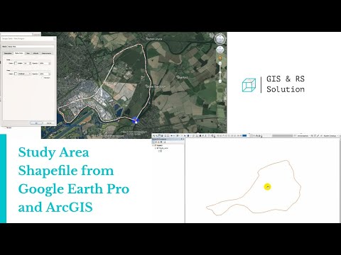
Creating Study Area Shapefile from Google Earth and ArcGIS
 0:01:36
GIS: Clip image by each feature in a FeatureCollection with Google Earth Engine
 0:09:13
Download Free Shapefiles, Raster and Vector Data | Top 10 GIS Data Sources
 0:04:10
GEOG 589 Lesson 1 in geemap - Clipping Earth Engine Imagery to a Polygon
 0:02:51
How to select Specific bands and Export this tiff image from Google Earth Engine and use ArcGIS
 0:00:34
iTablet clipping
 0:00:24
GEE Clip #43 - How to extract pixel values from an Earth Engine image using a point shapefile
Комментарии