filmov
tv
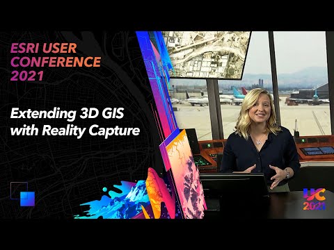
Extending 3D GIS with Reality Capture

Показать описание
3D GIS models the real world and abstract world, bringing together City Information Models (CIMs), Building Information Models (BIMs) and Landscape Information Models (LIMs) to create a new way of understanding and interacting with the world. Take a look at this demonstration from Madeline Schueren. Data for this demonstration provided in part by GeoAcuity, USC ICT, and Aerometrex.
--------------------------------------------------------------------------------------------------------------------------
Follow us on Social Media!
--------------------------------------------------------------------------------------------------------------------------
Follow us on Social Media!
 0:06:32
Extending 3D GIS with Reality Capture
 0:06:30
Extending 3D GIS with Reality Capture
 0:00:27
GIS-Powered augmented reality for subsurface utilities gets new viewing options
 0:31:46
Extended Reality (XR) with ArcGIS
 0:00:23
XR-GIS 1st version demonstration
 0:06:20
How to Find Spatial Data to use with Augmented Reality with GIS and Mapping
 0:57:45
Extended Reality (XR) with ArcGIS
 0:03:23
3D GIS City in Augmented Reality by Another Reality Studio
 0:00:32
Virtual GIS in Augmented Reality for Public Works and Utilities
 0:24:12
ArcGIS Runtime: Building Augmented and Virtual Reality Experiences
 0:01:43
The Importance of Data: Fusing Augmented Reality with GIS
 1:06:09
3D Across ArcGIS
 0:01:58
Electrical Substation, 3D Virtual reality, Operation processes
 0:31:37
Data-driven construction: work with 3D Reality Mesh & DSM in ArcGIS
 0:00:29
Take 3D measurements in the 3D GIS environment
 0:12:41
MineAR mobile app projects your GIS data into the 3D world surrounding you
 0:00:27
'Digital Twin' in Augmented Reality with Esri GIS and CAD data
 0:08:19
3D Meshes as Actionable Data - Integrating Automated Photogrammetry with GIS
 0:01:23
3D GIS Demo
 0:00:59
Reality Capture | 3D Scanning | Drone Mapping | GPS Surveying | Interactive As-Builts | GIS | BIM
 0:01:31
Digital Twin and Augmented Reality: WTP and Subsurface Assets
 0:00:15
Unlock the Secrets of 3D Mapping with ArcGIS Pro #gis #shortvideo
 0:00:17
Develop ArcGIS iOS 3D Features on 3D Map App Demo
 1:01:32
Leveraging 3D Across the ArcGIS Platform
Комментарии