filmov
tv
YellowScan UAV LiDAR Explained in 3 Steps

Показать описание
YellowScan UAV LiDAR Explained in 3 Steps
In this video, Brian from Juniper Unmanned explains how simple it is to use the YellowScan UAV LiDAR Mapper system:
1 - Just press the yellow button
2 - Scan through the clutter
3 - Get the real true ground data
🔗 FOLLOW US ON OUR SOCIAL MEDIA
💛 SUBSCRIBE TO OUR CHANNEL
📧 WANT TO KNOW MORE?
#LiDAR #UAV #pointcloud #Surveying #YellowScan
 0:00:44
YellowScan UAV LiDAR Explained in 3 Steps
 0:02:10
YellowScan Fly & Drive UAV LiDAR - Introduction to Multi-platform LiDAR
 0:01:18
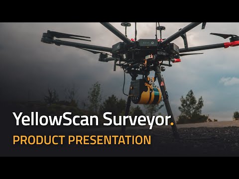
The New YellowScan Surveyor UAV LiDAR Mapping System - Introduction
 0:32:52
Highway Infrastructure Survey Using UAV LIDAR (LiDAR for Drone 2019)
 0:03:46
Use Case: YellowScan Vx & Surveyor UAV LiDAR mapping in Japan | Topography
 0:06:19
YellowScan Fly & Drive UAV LiDAR and Mobile Mapping - Product Demonstration
 0:01:48
Traffic Accident Forensic Analysis Using UAV LiDAR
 0:05:05
YellowScan's Story - The Team Behind our UAV LiDAR Systems
 0:00:26
UAV LiDAR Mapping - YellowScan Mapper - Product Teaser of Livox-based LiDAR
 0:08:18
Demo on YellowScan Surveyor LiDAR 5cm Accuracy
 0:12:03
Use Case: Increasing Corridor Mapping Productivity using YellowScan UAV LiDAR
 0:00:16
YellowScan x IFT - The Complete LiDAR Solution
 0:01:28
Software - YellowScan CloudStation for UAV LiDAR data
 0:23:35
Contribution of UAV LiDAR to Archeology (LiDAR for Drone 2019)
 0:10:15
UAV Surveying of a forest and explaining LiDAR (LiDAR for Drone Event 2016)
 0:01:58
Conference Introduction: Yellowscan LiDAR for Drone 2019
 0:05:12
Benefits of using drone with a lidar sensor Nassim Doukkali , Yellowscan
 0:19:31
Environmental Management Using UAV LiDAR (LiDAR for Drone 2019)
 0:00:50
Lidar test: GeoDrone6 and YellowScan Mapper
 0:14:17
How drones are revolutionizing the use of LiDAR
 0:02:37
Beautiful Vineyard Scanned with YellowScan UAV LiDAR Vx20 and Photogrammetry
 0:00:57
yellowScan:Lidar & drone used in archeology - Lidar & drone en archéologie
 0:03:12
What happened at LiDAR for Drone 2022 in Montpellier
 0:02:57
UAV LiDAR Pointclouds - Mining Application
Комментарии