filmov
tv
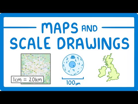
Map Scales explained

Показать описание
In this video, I’m comparing different map scales —1:50,000, 1:40,000, and 1:25,000—to help you understand how to choose the right map scale for hiking, walking, and navigation. Starting with a clear explanation of what map scales mean, I’ll show how each scale changes the level of detail, from large-scale terrain features to specific details like paths, walls, and landmarks.
I’ll be testing each map type on a route from Malham Tarn to Fountains Fell Tarn to see the differences firsthand. We’ll explore how the 1:50,000 map provides a broad view ideal for general navigation, the 1:25,000 map gives detailed features perfect for complex or precise navigation, and the 1:40,000 map offers a balanced view. Along the way, I’ll explain how to read map scales and why each scale might be better suited for different types of terrain or outdoor activities, from hiking and cycling to trekking in rugged areas.
If you’re curious about how to navigate with maps of different scales or want tips on picking the best scale for your next outdoor adventure, this video will give you the answers!
Links:
 0:08:45
GCSE Maths - Using Scales on Maps and Scale Diagrams
 0:25:12
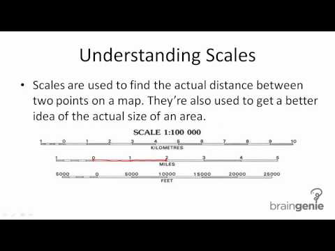
Map Scales explained
 0:07:23
Y11-12 Geography: Scale and Distance on Maps
 0:03:13
Scale and Mapwork
 0:02:50
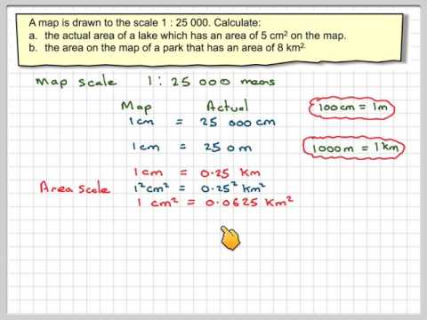
Map scales areas
 0:05:12
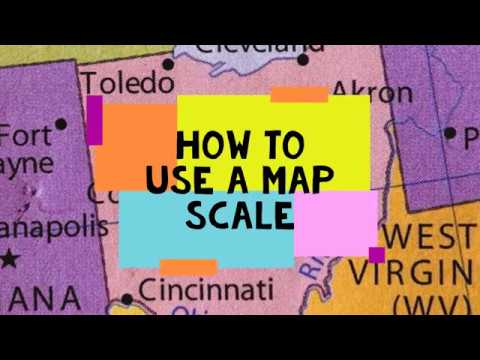
How to Use a Map Scale
 0:02:37
Scale: Geo Skills
 0:08:54
How to read Maps - Scale and Distance (Geography skills)
 2:06:19
Physical and social vulnerability for the multi-hazard risk analysis of components and systems
 0:10:38
Maps Maths Lit Ratio Scale Part 1
 0:14:35
All of iGCSE Maths Map Scales: What You Need To Know
 0:00:32
What are the three types of map scales?
 0:05:19
Understanding Map Scale: Large Scale Versus Small Scale Maps
 0:07:15
How to Use a Map Scale
 0:10:44
Map Skills Explained: Map Scale
 0:05:12
Use of scales in maps | Part 1/3 | English | Class 5
 0:05:00
Map Scales
 0:01:52
Reading a Map - Understanding and Using a Scale
 0:10:12
How to calculate distances on the map or in reality using the map scale
 0:12:21
Learn Geography - How to use Map Scale in Maps? | iKen | iKen Edu | iKen App
 0:06:00
Why all world maps are wrong
 0:01:28
Using Map Scale to Calculate Distance
 0:03:26
Map Scales
 0:11:21
Grade 12 Mathematical Literacy: Maps and Scale 2022 | Scale and Mapwork | Maps and Scales |
Комментарии