filmov
tv
AutoCAD Map3D: CAD Data Coordinates Transformation

Показать описание
This short video presents how to transform CAD data from one coordinate system to a Different Coordinate System using Autodesk AutoCAD Map 3D.
 0:01:15
AutoCAD Map3D: CAD Data Coordinates Transformation
 0:01:17
AutoCAD Map 3D: GIS Data Coordinates Transformation
 0:01:49
AutoCAD How To Find Coordinates Tutorial
 0:05:58
AutoCAD Map 3D: Coordinate Transformation
 0:04:40
AutoCAD Map 3D 2011 - Coordinate System Tracking
 0:55:06
CAD-1 Presents - Coordinate Systems in Map 3D
 0:01:08
How to insert site coordinates in autocad quickly | Easting and Northing
 0:05:06
AutoCAD Civil 3D Coordinate Conversion
 0:03:34
Creating a local coordinate system in AutoCAD Map 3D and Civil 3D
 0:05:09
Coordinate Systems in AutoCAD Map 3D 2012.wmv
 0:04:12
How to Set Geo Location in AutoCad?
 0:02:20
Using an InfraWorks 360 Model in local coordinate systems in AutoCAD Map 3D and Civil 3D
 0:56:22
CAD-1 Presents - Data Management Tools in Map 3D
 0:02:08
AutoCAD Map 3D - How To Add a Point Cloud to a Map
 0:01:11
AutoCAD Map3D 2013 Overview Reasons3a
 0:01:51
How to Make #Georeferenced Image in #AutoCAD - #Tutorial for #Beginners
 0:03:58
AutoCAD Map 3D 2011 - Grids and Graticules
 0:03:52
Tracking Coordinates
 0:42:09
Using AutoCAD Map: GIS Capabilities | Open Spatial
 0:01:41
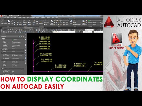
How To Display Coordinates On Auto CAD Drawings
 0:29:22
AutoCAD MAP 3D - Working with Survey Data
 0:05:07
How to create a point in Civil3d using latitude and longitude input
 0:06:14
Using Free GIS Data in AutoCAD Map 3D - AtYourDeskTraining.com
 0:02:22
AutoCAD Map3D 2013 Overview Reasons2
Комментарии