filmov
tv
Centering Geospatial Data with Python Xarray | Simple Python Techniques & Tricks

Показать описание
Hello Pythonistas and Pythoneers,
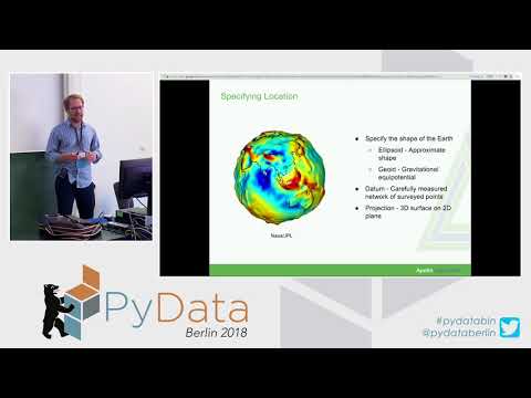
In this tutorial, we look at ways to center longitudes on the 0 degree longitude (Greenwich). Re-orienting global longitude coordinates from 360 degree to -180, 180 degree structure.
Kindly like, leave a comment and share. Don't forget to subscribe if you're new on this channel. Hoping you join the great Python family, where we advance the use of Python programming as a resource for effective atmospheric and climate sciences.
Featured Videos:
Standardized Precipitation Index Part 2 | Multi-dimensional Data (NetCDF)
Standardized Precipitation Index (SPI)
Pandas Time Grouping
WOW! Transform data in Style | Simple things you haven't used in Pandas yet | Pandas Melt & Pivot
Python STREAMLINES
Python Data Distribution and Statistics
Python Spatial MannKendall Trend 2
Python Xarray REDUCE Function for finding Median and Percentiles of Data
Python WindRose Plots
Python Lambda Function
Installations
Data used
 0:08:25
Centering Geospatial Data with Python Xarray | Simple Python Techniques & Tricks
 0:28:33
Deep Learning with Geospatial Data | SciPy 2017 | Shane Grigsby
 0:03:07
Data Handling | Centering and Scaling using Python
 0:35:35
Using Geospatial Data with Python, SciPy2013 Tutorial, Part 1 of 6
 0:11:29
Book Review - Applied Geospatial Data Science with Python
 0:27:25
Geospatial Data in MySQL with Python - Mike Benshoof: OKC Python
 0:29:10
FOSS4G - Geospatial analysis using python 101
 0:37:18
Francesco Bruni - Geospatial analysis with Python
 0:41:56
Spatial Data Science with Python - Install Geopandas, Geemap & JupyterLab for Interactive Mappi...
 0:26:17
Spatial thinking with Python
 0:07:00
Spatial Data Analysis 2: Shapely
 0:14:52
Using Geospatial Data with Python, SciPy2013 Tutorial, Part 3 of 6
 0:05:25
Spatial Data Analysis 6: Folium
 0:30:19
Python Tutorial: Bulk Geocoding with GeoPy and GeoPandas
 0:31:17
Using Geospatial Data with Python, SciPy2013 Tutorial, Part 2 of 6
 0:37:24
Spatial Data Analysis With Python - Dillon R Gardner, PhD
 0:39:17
30 Maps in 30 days with Python
 0:09:30
Modern tools to simplify deep learning models: Geospatial Analysis with Python
 0:14:12
Mapping with Python & Folium - Creating Maps from Raw CSV/JSON Data
 0:37:17
Travis Hathaway: Processing Open Street Map Data with Python and PostgreSQL
 0:27:49
SciPy Tools Plenary Session Day 3 | SciPy 2018
 0:25:17
Introduction to Spatial Statistics #GIS #Maps #Data Science
 1:07:28
GIS in Latin America Webinar Series: Geospatial Data and Human-Centered Landscapes in Guatemala
 0:18:42
05b Spatial Data Analytics: Declustering in Python
Комментарии