filmov
tv
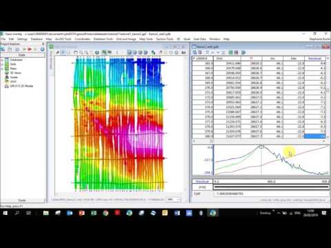
Geosoft - Database Profiles

Показать описание
In this tutorial you will learn how to:
- Add existing database and grid
- Set x and y coordinates in a database
- Plot a line from a database on a grid
- Sample a grid
- Delete database rows and lines
- Sort database lines from south to north
- How to create a distance channel
- Plot a channel (column) in a database
- How to save your plot as a map and export it as a jpeg image
- How to change the text and line size in a map
You will learn these features using regional, freely available gravity and magnetic data over the Vredefort Dome (South Africa), as well as the coordinates of a seismic profile over the dome.
The files for this tutorial can be found at:
Make sure to download:
TMI.grd
 0:05:02
Geosoft - Database profile plots
 0:34:02
Geosoft - Database Profiles
 0:04:12
Geosoft Oasis Montaj - How to Created Profile Plot Database
 0:13:49
Geosoft - Display multiple lines in a database as profiles
 0:05:31
Geosoft - Merging databases
 0:12:17
Geosoft - Extracting radial profiles for a survey
 0:07:52
Geosoft GM-SYS Profile Gravity and Magnetic Modelling software
 0:05:54
Geosoft - Merging two databases with the same stations but different data
 0:03:40
Geosoft - Creating a database for GPS readings and plotting them on a map
 0:07:45
Geosoft - Database Maths Tool - If/then statement
 0:10:57
Geosoft - 2 Creating a database and importing data
 0:11:17
Geosoft - Calculating the IGRF values for a database
 0:20:27
Geosoft Oasis Montaj - How to Extract Radial Profile
 0:05:04
Geosoft - How to plot or grid just a portion of your database
 0:09:23
Geosoft Release 2012 - What's New in Geosoft Oasis montaj 7.5
 0:05:05
Oasis Montaj | How to Grid a Channel of a Geosoft Database
 0:04:23
VOXI Earth Modelling - How to prepare data for import in VOXI
 0:36:35
Magnetic Tutorial - Karoo - 1 Importing databases, creating grids and maps
 0:06:09
Geosoft - Extract coordinates
 0:13:25
Geosoft - Taking a subset of a database
 0:02:21
Oasis Montaj | How to Save a Grid File to a Geosoft Database
 0:13:11
Geosoft - 0 How to go about interpreting magnetic data
 0:01:41
Geosoft - Determining your grid cell size
 0:04:19
How to create sections from array data
Комментарии