filmov
tv
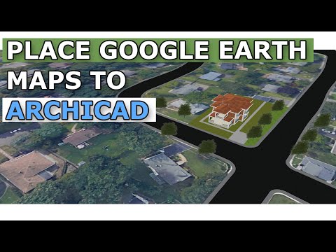
Google Earth Maps to Archicad - Tutorial

Показать описание
How to combine google earth maps with archicad and get the true dimensions with that. Importing and using maps. Creating terrain material, taking reference from image terrain to 3D
►TWINMOTION 2020 - Exterior Render Tutorial
►Modern Bathroom Design
INSTAGRAM ► @serdaros
#sbarchitect #serdaros
Being an architect needs to pass through express your design ideas. BIM is a language that you can do this via computer technology. You can find the way of improving your Architectural Modeling Knowledge, BIM and Visualization skills in the SB Architect Channel. By following me you will add more to your BIM skills and much more.
 0:08:51
Google Earth Maps to Archicad - Tutorial
 0:01:00
Import Terrain and Coordinate Information from Google Earth to ArchiCAD
 0:03:58
Importing a Google Earth 3D model into ARCHICAD
 0:00:35
Placing Google Earth image in ArchiCAD
 0:03:55
ARCHICAD How to resize a Google Earth Map to correct scale with ARCHICAD
 0:25:38
How to Add Google Earth 3D Objects into ArchiCAD (via Blender) - CBA Does Archicad Episode 001
 0:04:25
Ein Google Earth 3D-Modell importieren
 0:01:01
BIMTech Tools | Terrain, Orthophoto and Cadastral map import into ArchiCAD
 0:01:09
Evaluate ArchiCAD designs in Google Earth Environment
 0:09:26
Architecture Site Visualization | How to Model Terrain from Google Earth | ArchiCAD Tutorial
 0:01:49
Importing a project location from Google Earth or a SketchUp file into ARCHICAD
 0:16:52
Create a Site Location plan with Archicad from a google maps image
 0:00:41
Extract 3D Content From Google Earth
 0:02:35
Archicad pills how to import the land from Google Earth
 0:27:28
Creating Contour Plan from Google Maps to ArchiCAD.
 0:32:38
Generate Easily Google Earth Contours to AutoCAD- Revit-ArchiCAD
 1:20:53
Build a 3D City in ARCHICAD using CADMAPPER, SKP & Google Earth Imagery
 0:02:59
Google terrain import in ArchiCAD. Free tarrain model!
 0:03:35
Exporting 3D models to Google Earth from ARCHICAD
 0:02:38
Google earth to Archicad
 0:21:59
Integrating Google Earth Locations into ArchiCAD 17 and Creating real Contour Lines
 0:09:33
Terreno de google earth en archicad.
 0:04:42
HOW TO EXPORT ARCHICAD MODEL TO GOOGLE EARTH #bim #archicad
 0:04:21
3D do ArchiCAD para o Google Earth
Комментарии