filmov
tv
We Mapped Roman Britain - With NO Maps

Показать описание
If you would like access to behind the scenes weekly Videos with Rebecca and I and other perks, you can support this channel here: Join this channel to get access to perks:
Welcome to this weeks offering. We take a look at how Roman Britain was mapped from the earliest map makers to the more recent attempts.
Credits: Music: Storyblocks
Sound Effects: Epidemicsound and Storyblocks
Roman Road Diagram - Roman Road Research Association.
Ravenna Study:
Additional Drone Footage:
Hedley Thorne: @hedleythorne and @OPOCHKA
Maps: OS Maps Crown Copyright 2023 - Media License.
Maps: Google Maps.
Maps: National Library of Scotland
Maps: All other Maps credit below where applicable.
ALL Lidar: EA Via Phil Barrett (Twitter: @Phil_M_Barrett )
Filter: Snowman Digital and Beachfront B-Roll
Other Filters: StoryblocksCredits:
Picture credits: All CC
Fosse Way Map: Nessyseagoon
Roman Britain Map from Itin: "My Work"
Rectangular Map based on Ptolemy: Biblioteca Nacional de España
Early Ptolemy Text: The Bodleian Library Uni of Oxford
Augustus figure: Joel Bellviure
Circus Maximus: Pieter van Eekeren
Circus Maximus: Rabax63
Circus Maximus: Pascal Radigue
Circus Maximus Plan: Samuel_Ball_Platner
Tyre: RomanDeckert
Vienna Museum: Manfred werner
Itin Map: University of Kent
Chapters:
Intro: 00:00
Melea The 1st: 01:31
Marinus of Tyre: 03:25
Ptolemy: 05:35
Antonine Itinerary: 09:25
Ravenna Cosmography: 11:45
Peutinger Map: 13:11
William Camden: 16:03
Ivan Margary: 18:15
Conclusion: 21:10
 0:23:00
We Mapped Roman Britain - With NO Maps
 0:13:54
EVERYTHING you know about Roman Roads is WRONG
 0:10:54
How We Misunderstood Roman Britain. The Exeter Story
 0:12:21
We Found a LOST Roman Town
 0:00:47
Mapping Roman Britain with ZERO Maps
 0:12:04
The Lost Roman Roads of Great Britain
 0:03:40
Roman Britain: Every Year
 0:51:34
What Was Life Actually Like In Ancient Roman London? | Life and Death Roman London
 0:00:59
Uncovering How Romans Crossed the Thames
 0:09:29
I Spent £300 on a MASSIVE Roman Map, so I could draw Britain!
 0:00:46
Did THIS British Tribe cause the Roman Invasion??
 0:00:58
The BBC claim there was a black Roman Emperor. Septimius Severus #history #romanempire #roman #bbc
 0:12:37
Building Roman Britain
 0:02:06
Roman map of Britain.
 0:20:30
The Roman Town that VANISHED - The Calleva Story
 0:00:11
HADRIAN WALL #historia #history #historyfacts #uk #england #rome #roman #map #maps #british #britain
 0:59:31
Landscapes of Roman Britain
 0:18:03
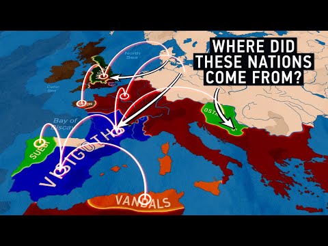
The Migration Period: How Europe was Born
 0:56:26
A Timewatch | Roman Britain
 0:00:32
The Roman Empire 🇮🇹
 0:00:59
Where they kept the money in a Roman fort | Chester's Fort Strongroom
 0:00:23
Evolution of The ROMAN EMPIRE🏛️
 0:17:41
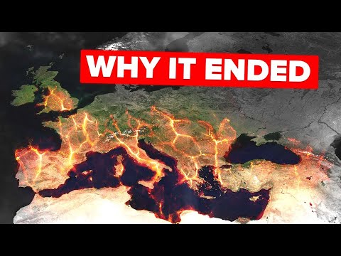
What Caused the Roman Empire to Collapse
 0:08:38
Mapping: The Fall of Roman Britain and the EPIC Anglo-Saxon Invasion
Комментарии