filmov
tv
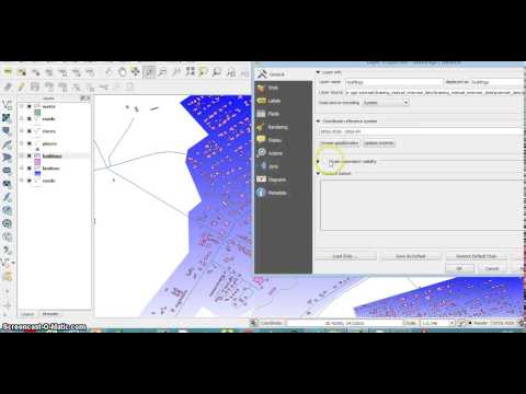
7 - QGIS 3.2 Tutorial - Distance to Hub

Показать описание
This tutorial takes the task in our last video and accomplishes it by another method: by using a layer of railway stations as "hubs" and settlements as "spokes" we can create a layer that adds a "distance to hub" and name of hub to the data for each spoke. We can then filter on this to easily determine settlements that are a certain distance from a railway station.
Layers used for this:
Distance to Hub
Downloads - Large Scale Data 1:10m -
Physical - Coastlines
National Public Transport Access Nodes (NaPTAN)
Download as Zipped CSV format (29MB)
National Records of Scotland - Settlements 2016 Centroids
National Records of Scotland - Estimated population of settlements by broad age groups, mid-2016
 0:32:59
QGIS 3 for Absolute Beginners
 0:06:02
Räumliche Analyse - Feuerturm 7 | QGIS 3 | Tutorial | Deutsch
 0:01:36
qgis tutorial 3 2 screencast3 Scale depended visibility
 0:08:51
QGIS 3 - Versionen, Installation und Komponenten | QGIS 3 Tutorials | Deutsch | German
 1:27:21
QGIS For Absolute Beginners || QGIS Tutorials For Beginner || GeoFox
 0:15:35
QGIS 3 | Tutorial | Kartenlayout Teil 2 | Legende hinzufügen | Deutsch | German
 0:08:43
QGIS 3 | Tutorial | Kartenlayout Teil 1 | German | Deutsch
 0:05:57
Getting Started With QGIS Project | How to Create a New QGIS Project
 0:05:52
Viewshed analysis in QGIS 3 | visibility analysis | part-2
 0:07:16
Einführung in die 3D-Visualisierung mit QGIS - 2/3: Gebäude in 3D darstellen
 0:12:38
Map Layout In QGIS || QGIS For Absolute Beginners #7 || QGIS Tutorials For Beginner || The GIS Hub
 0:20:07
QGIS 3 - Gitter- und Punktnetze erstellen | QGIS Tutorial | Deutsch | German
 0:55:26
A Complete Beginner's Guide for QGIS 3 || QGIS for Beginners 2020 || @geotechstudio
 0:05:53
QGIS Tutorials 7: How to Add & use Multiple Map Canvases in QGIS | New Map View | Beginners
 0:02:19
Installing SAGA GIS in QGIS 3.0 or above
 0:06:50
QGIS Tutorial | Basic | Filtern und Exportieren (7/16)
 0:09:23
Supervised Classification in QGIS
 0:06:22
QGIS basic tutorial 1: QGIS 3.28 - installation and basic setup
 0:12:03
Comment utiliser des données raster - Guide complet de QGIS 3 pour débutants Part.7
 0:04:34
QGIS 3.34 Visual Changelog
 0:05:04
Download & Install the Latest version of QGIS(Quantum GIS) free for Lifetime (windows, MacOS, Li...
 0:06:48
QGIS Tutorials 49: Composite Bands / Layerstack in QGIS | Build Virtual Raster
 0:17:22
QGIS Layout Design - Part 7 Lines 2 Polygons
 0:12:40
Creating Map Layout in QGIS - Beginners Guide | QGIS 3
Комментарии