filmov
tv
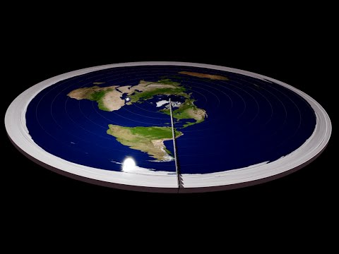
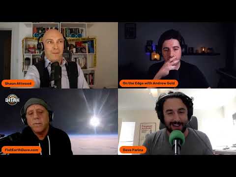
Flat Earth Fails - Impossible Equinox

Показать описание
Here's why equinox observations of sunrise directly in the east and sunset directly in the west don't work on the falt earth map.
 0:10:31
Is Earth Actually Flat?
 0:00:46
Debunking Flat Earth in 45 Seconds!
 0:04:08
Shutting down flat Earthers, Neil deGrasse Tyson style | Big Think
 0:00:56
A Flat Earther explains time zones #AskMeAnything
 0:17:25
Flat Earth Fail Compilation 43: The Worst Fails Yet
 0:05:10
No Human Has Ever Left Earth’s Atmosphere, Here's Why
 0:00:53
Do you REALLY think we didn’t land on the moon?!
 0:06:51
Destroying Flat Earth Without Using Science - Part 3: Airplanes
 0:08:23
Why Flat Earth failed
 0:00:13
Smashing a 34,000 Brick Statue
 0:00:39
He Jumped From How High?! 🤯
 0:12:02
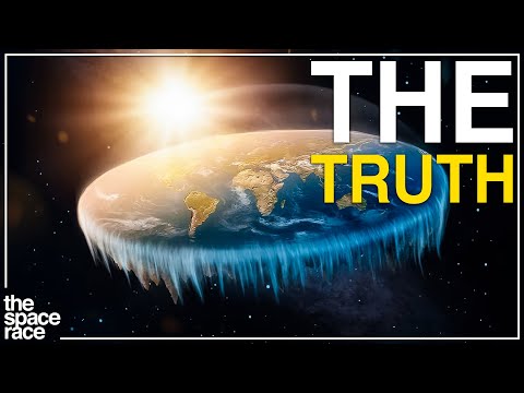
The Truth About The Flat Earth Theory..
 0:01:00
Debunking Moon Landing Conspiracies in less than 60 seconds
 0:01:56
B.o.B's Flat Earth Conspiracy Explained (And Obviously Debunked)
 1:01:53
Professor Dave Humiliates Flat Earther David Weiss (DITRH Debunked Live)
 0:00:42
This world record is 42 days long
 0:00:13
He Got Sent To The Backrooms… 😶
 0:00:20
Son Tells His Dad A Tricky Riddle #Shorts
 0:08:02
Unbelievable Places On Earth!
 0:00:56
how to break bedrock
 0:00:25
0.05 seconds from losing my hardcore world…
 0:00:56
Asking people to guess Fake country flags
 0:00:37
0.07 seconds from losing my hardcore world
 0:00:11
Why did this happen to me (Rubik's Cube FAIL)
Комментарии