filmov
tv
How to convert KML files (Google Earth) in ArcGIS Pro

Показать описание
ArcGIS Pro, a powerful geographic information system (GIS) software developed by Esri, provides a variety of tools for data conversion. Some of the key conversion tools available in ArcGIS Pro include Table to Table, Feature Class to Feature Class, Raster to Other Format, Feature Class to Shapefile, Feature Class to Geodatabase, KML to Layer, and Excel to Table. These are just a few examples of the data conversion tools available in ArcGIS Pro.
_______________
in this video, we've gone over KML to layers conversion. this conversion converts keyhole Markup Language (KML) files to feature classes or shapefiles for use in ArcGIS Pro. Using Google Earth we've shown you step-by-step how to digitize and export a kml file and how to convert the kml file in ArcGIS Pro.
🔴 ArcGIS Pro Complete Beginner's Tutorial - ArcGIS Pro Full Course
🔴 Image Processing in ArcGIS Pro Complete Tutorial
🔴 ArcGIS Desktop Complete Beginner's Tutorial - ArcGIS full course
________________________
🔴 Check it out:
- Like & Share the video with others:
_ _ _ _ _ _ _ _ _ _ _ _ _ _ _ _ _ _ _ _ _ _
- Subscribe to our channel :
=========================================================
#ArcGISPro #ArcGIS #GIS #KML
 0:03:00
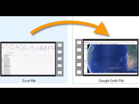
Excel data to Google earth. How to convert excel files into kml or kmz
 0:03:10
Converting KMZ to KML File
 0:01:50
Convert KML to Shape file in QGIS
 0:01:11
How to convert KML to CSV (Quick conversion in less than a minute)
 0:05:03
How to Convert KML File to AutoCAD Drawing | Google Earth Pro to AutoCAD | AutoLisp Command
 0:02:51
Convert KML to TXT/CSV | Google Earth Data | KML file
 0:09:29
How to convert KML files (Google Earth) in ArcGIS Pro
 0:02:34
How to export .kml file from Google Earth.
 0:03:07
How to convert KML or KMZ file to Shapefile in ArcGIS
 0:02:53
Export and Import kml / kmz file from GOOGLE EARTH PRO
 0:01:18
How to convert KMZ to KML (Quick conversion in less than a minute)
 0:06:10
How to Convert KMZ to KML Files (Two Methods)
 0:05:14
Easy Steps to Convert KML to SHP (Shapefile) and Back in QGIS
 0:01:13
KML-Convert your CSV Data into KML / KMZ
 0:01:12
How to convert KML to SHP (Quick conversion in less than a minute)
 0:01:09
KML to GPX File Conversion (Super Easy!)
 0:03:00
multi kml file to transper one file(folder)
 0:02:42
KML to SHP Conversion in ArcGIS || How To Convert KML File Into Shapefile || File Conversion | ITGis
 0:02:51
Export to Excel or Text file from Google Earth | Convert KML to Excel
 0:01:13
How to convert KML or KMZ File To MapInfo TAB File
 0:02:53
How to convert Kmz/Kml file into Layers file using Arcmap
 0:03:04
How to create a KML file in Google Earth
 0:04:45
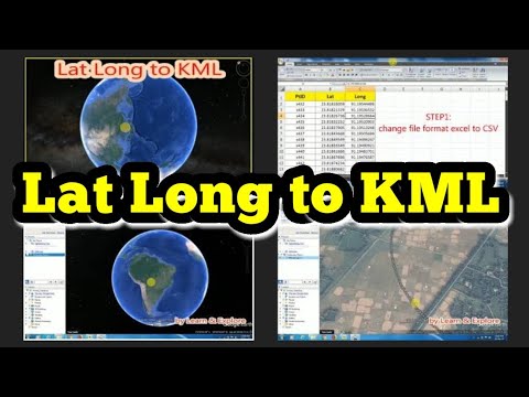
Lat Long to KML//Google Earth Pro
 0:00:58
Converting Google Earth KML to AutoCAD Drawing
Комментарии