filmov
tv
Sentinel 1 data download from new portal and how to open in Arcgis pro

Показать описание
Sentinel-1, a Synthetic Aperture Radar (SAR) satellite developed by the European Space Agency (ESA) under the Copernicus program, offers high-resolution radar images of the Earth's surface, unaffected by weather or time of day. Its data products, including Level-1, Level-2, and Level-3 products, serve diverse purposes such as land and ocean monitoring, disaster management, climate research, and scientific studies. While the Copernicus Open Access Hub initially provided free access to Sentinel-1 data products, the portal for downloading this data has recently changed. These data products are instrumental in helping scientists, researchers, and decision-makers better comprehend our planet and address its challenges. In the following video, I'll demonstrate how to download this data from the new website.
New link to download the data
New link to download the data
 0:07:50
Downloading Sentinel 1 SAR data for Free | 2024 - Copernicus Data Space Ecosystem
 0:07:16
Sentinel 1 data download from new portal and how to open in Arcgis pro
 0:07:32
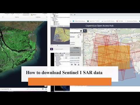
How to download Sentinel 1 SAR data
 0:08:02
How to download Sentinel-1 SAR Data from Dataspcace Copernicus for free (Latest update)
 0:04:48
Download SAR Data (Sentinal-1, ALOS PALSAR, UAV SAR, RADARSAT-1) from Alaska Satellite Facility
 0:04:25
How to download Sentinel 1 SAR data for free
 0:08:02
How to download Sentinel-1 images
 0:03:59
How to download Sentinel 1 SAR Data
 0:53:04
Ingest CEF logs from Network devices to Microsoft Sentinel | 1hr Complete Demonstration
 0:04:51
How to Download Sentinel-1 Imagery And Generate 10m DEM From SNAP Toll
 0:04:20
Download Sentinel-1 SAR DATA From Copernicus Data Space Ecosystem | Latest Update
 0:08:35
Downloading Copernicus Sentinel Data from Copernicus Data Space Ecosystem |Sentinel 1,2,3,4,5,6|
 0:00:24
Fetching and pre-processing Sentinel 1 Satellite imagery in Google earth engine
 0:06:51
How to download Sentinel 1 & Sentinel 2 satellite dataset?
 0:07:51
Download and Extract Soil Moisture Data from Sentinel 1 and SMAP using ArcGIS Desktop
 0:04:49
How To Download Sentinel-1 SAR Data
 0:05:15
How to Geocode Sentinel 1 SAR Data in ArcMap 10.8.1
 0:05:23
Tutorial 1 - Downloading sentinel data from the Copernicus Open Access Hub
 0:48:32
An Absolute Beginner's Guide to SNAP (Thorough Tutorial) - SeNtinel Application Platform
 0:06:32
Load a Sentinel-1 with Snap, subset, export in 2 ways, import in QGIS and make a map.
 0:09:41
How to bulk download SAR images from Vertex using Python Script
 0:00:40
Tutorial - How to export data with Sentinel-1 Toolbox ?
 0:05:38
1 InSAR - Downloading data
 0:07:27
Lab 2 Exporting Sentinel 1 Imagery from GEE
Комментарии