filmov
tv
Monsoons: Wet, Dry, Repeat...

Показать описание
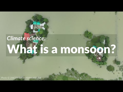
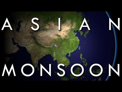
The monsoon is a seasonal rain and wind pattern that occurs over South Asia (among other places). Through NASA satellites and models we can see the monsoon patterns like never before. Monsoon rains provide important reservoirs of water that sustain human activities like agriculture and supports the natural environment through replenishment of aquifers. However, too much rainfall routinely causes disasters in the region, including flooding of the major rivers and landslides in areas of steep topography. This visualization uses a combination of NASA satellite data and models to show how and why the monsoon develops over this region. In the summer the land gets hotter, heating the atmosphere and pulling in cooler, moisture-laden air from the oceans. This causes pulses in heavy rainfall throughout the region. In the winter the land cools off and winds move towards the warmer ocean and suppressing rainfall on land.
Music: Letting Go by Mario Lauer, 24 Dimensions by Christian Telford, David Travis Edwards, Matthew St. Laurent, and Robert Anthony Navarro
Credit: NASA/Goddard/Ryan Fitzgibbons
Music: Letting Go by Mario Lauer, 24 Dimensions by Christian Telford, David Travis Edwards, Matthew St. Laurent, and Robert Anthony Navarro
Credit: NASA/Goddard/Ryan Fitzgibbons
 0:03:32
Monsoons: Wet, Dry, Repeat...
 0:03:28
Monsoons: Wet, Dry, Repeat
 0:01:22
The Science Behind Monsoons
 0:01:19
Monsoons
 0:16:57
The Asian Monsoon - The World's Largest Weather System
 0:07:07
What is a monsoon?
 0:01:56
ClimateBits: Monsoons
 0:09:06
The Tropical Monsoon and Tropical Savannah Climates - Secrets of World Climate #2
 0:01:54
What is a Monsoon?
 0:00:58
Why do tropical regions only have dry & rainy seasons? #tropical #rainyseason #sciencefacts #sho...
 0:03:46
Monster Monsoon | Science | Nature | Little Fox | Bedtime Stories
 0:03:49
Life of the Monsoon
 0:03:37
Ask the Bureau: What is the monsoon?
 0:01:41
Koppen Scheme - Tropical Monsoon Climate (Am) | UPSC IAS Geography
 0:02:30
What is the North American Monsoon?
 0:03:34
Robots vs Monsoons!
 0:01:01
What is a Monsoon?
 0:05:27
Monsoons (educational video)
 0:00:30
What is a monsoon surge?
 0:03:24
What is a monsoon?
 0:00:39
Monsoon Moments: What is a Monsoon?
 0:00:14
Tropical Monsoon in the Bohol, Philippines
 0:05:08
What is Monsoon | Formation of Monsoon | Where it Occurs | Positive & Negative Impacts | Facts
 0:00:06
Monsoon
Комментарии