filmov
tv
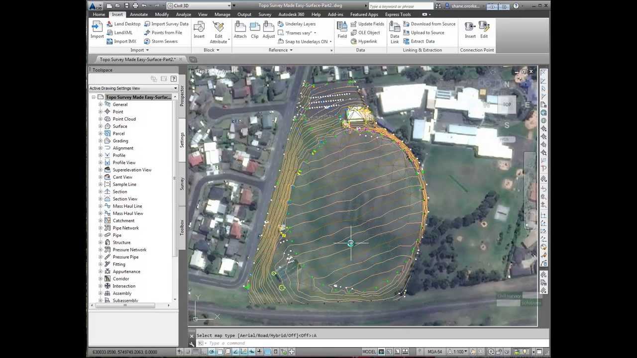
AutoCAD 2014 includes Live Maps
Показать описание
New to the 2014 release is Live Maps, allowing you to set a geographic location and live view aerial photos of that location, adjusting as you zoom and pan.
We show you an example of this on AutoCAD Civil 3D 2014.
No surface elevations from this though - :(
We show you an example of this on AutoCAD Civil 3D 2014.
No surface elevations from this though - :(
 0:00:53
 0:01:25
 0:01:36
 0:01:25
 0:02:00
 0:04:53
 0:03:15
 0:01:25
 0:01:25
 0:04:22
 0:01:25
 0:02:43
 0:05:01
 0:02:29
 0:02:41
 0:01:42
 0:03:03
 0:05:39
 0:00:32
 0:05:09
 0:12:01
 0:06:52
 0:02:06
 0:02:55