filmov
tv
Awesome FREE Terrain Files for CNC - Easily Download STL Topographical Maps

Показать описание
In this video I show you how to use Touch Terrain to get free STL terrain files showing the topography of anywhere on earth which you can then load into your CNC editing software to create your toolpaths.
CNC Bits from Spe Tools
Amana CNC bits from Tooltoday
Alternative routers available here:
If you want to help the channel but do not want to become a Patreon, you can contribute directly:
CNC Bits from Spe Tools
Amana CNC bits from Tooltoday
Alternative routers available here:
If you want to help the channel but do not want to become a Patreon, you can contribute directly:
 0:14:41
Awesome FREE Terrain Files for CNC - Easily Download STL Topographical Maps
 0:08:10
Make 3D Printed Terrain Maps of Any Location for FREE!
 0:05:15
The BEST models to 3D print, 40K Terrain (free download)
 0:18:27
Dwarven Blacksmith Wargaming Terrain! FREE STL files! 🛠🏆
 0:12:45
AMAZING CHEAP WARGAMING TERRAIN
 0:00:09
Barriers in a SNAP #stl #terrain #40k
 0:07:21
Digital Billboard - Wargaming Terrain - Free 3d Printable File
 0:21:23
How To Find EVERY D&D Monster for 3D Printing (For Free)
 0:20:21
NotebookLM
 0:13:12
23 Free Prints For Beginners (That Don't Suck)
 0:04:20
Generate 3D terrain for free without software
 0:09:38
Create BEAUTIFUL 3D terrain! (Free Terrain Download) GAEA
 0:20:08
GAEA -- Awesome New Terrain Creator (with free version!)
 0:00:11
Necromunda/Warhammer 40k Opening Iris Tile Terrain #necromunda #warhammer40k #warhammer #terrain
 0:00:30
Premium 3D Printable Fantasy Terrain. New Files Monthly.
 0:00:56
Some awesome #ageofsigmar terrain by printable scenery
 0:07:27
Incredible 3D printed terrain for your D&D game
 0:09:11
This FREE TERRAIN GENERATOR for Blender just got an update!
 0:07:56
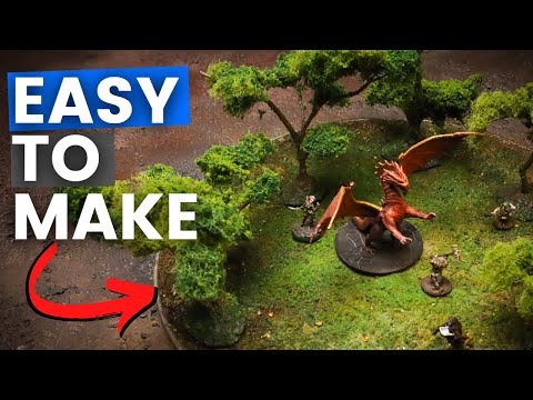
The ONLY DnD Terrain you will EVER Need
 0:00:21
15 Free Terrain Heightmaps for UE 4.27 | Free project download
 0:15:30
A Quick Intro to 3D Printing Terrain with FDM Printers
 0:23:21
GAEA - FREE AWESOME, SEXY & CLEAN TERRAIN BUILDER (FULL TUTORIAL GUIDE)
 0:00:27
🏔️👀The BEST Roblox Terrain Plugin (You Need This!) #shorts
 0:10:21
Is it worth it to 3D print terrain?
Комментарии