filmov
tv
Create study area map in QGIS - Map Layout in QGIS

Показать описание
Study areas are geographic boundaries created in Business Analyst used to define the extent of your analysis. They are typically created when starting a project to ensure that your data is confined to a specified area. in this video, we show you how to crop and isolate your area and after processing, how to export it as a Map with standard details on it such as scale, legend, and so on. for this purpose we used QGIS software to readily prepare a standard study area map in the fastest way.
====================================
Subscribe to our channel and Like the video:
_ _ _ _ _ _ _ _ _ _ _ _ _ _ _ _ _ _ _ _ _ _
Share the video with others:
=========================================================
#Map_Layout #Create_study_area_map #Map_Layout_in_QGIS #Create_Map_Layout_in_QGIS #Create_Map_Layout #study_area_map #QGIS RS & GIS #RSandGIS
 0:17:14
Study Area Mapping | Create Map Layout in ArcGIS
 0:14:56
How To Make Study Area Map in ArcGIS. Complete Process. #arcgis #studyareamap #civilengineering
 0:19:09
Create study area map in ArcGIS - Map Layout in ArcMap
 0:35:19
Study area Map using QGIS | Study Area Location Map Preparation | QGIS for beginners - Tutorials |
 0:14:04
How to Create Study Area Map without Shapefile in ArcGIS
 0:07:14
how to create a study area map in arcgis
 0:06:58
Create Study Area Locator Map without Shapefile using ArcGIS
 0:26:28
Creating Shapefile and Study Area Map for any Location | Latest Tutorial using QGIS
 0:05:18
How to Search Places on QGIS Map
 0:06:45
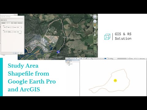
Creating Study Area Shapefile from Google Earth and ArcGIS
 0:14:44
Prepare Study Area Map Easily |QGIS
 0:18:22
Preparing Study Area Map in ArcGIS | Create Map Layout
 0:25:26
ArcGIS tutorial #1 :Study area map in Nepali
 1:53:40
Create study area map using QGIS: Detailed step by step methods
 0:02:16
Study Area Location from Google Map
 0:45:24
Study Area map with topography using QGIS tool.
 0:21:39
HOW TO CREATE LOCATION MAP OF STUDY AREA IN ArcGIS | ArcMap #arcgis #arcmap #location #map
 0:23:56
Study area Map using QGIS
 0:26:25
Making Study area map in QGIS (in Nepali)
 0:13:20
Creating Study area from google earth|| Extracting Study Area Map from Google Earth|| Map Designing
 0:07:37
HOW TO MAKE STUDY AREA MAP IN ARCGIS | ARC GIS TUTORIAL | #ARCGIS #EASY TRICKS
 0:18:17
Study Area Map |how to create study area map in 2024|
 0:10:36
Creating a study area map in #R #software
 0:27:25
HOW TO CREATE LOCATION MAP OF STUDY AREA IN QGIS | HOW TO DOWNLOAD FREE SHAPEFILE AND ADD LAYERS
Комментарии