filmov
tv
Creating Shapefile and Study Area Map for any Location | Latest Tutorial using QGIS

Показать описание
In this tutorial, we'll guide you through the process of creating a Shapefile and generating a Study Area Map. We'll cover the inclusion of grids, coordinates, and legends to ensure your map is informative and visually appealing, no matter the location you choose.
 0:26:28
Creating Shapefile and Study Area Map for any Location | Latest Tutorial using QGIS
 0:06:45
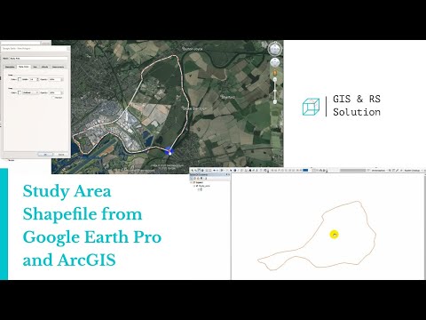
Creating Study Area Shapefile from Google Earth and ArcGIS
 0:17:50
GIS Tutorial | Part 1 | How to make a shapefile or study area in ArcGIS
 0:03:36
How to make shapefile in arcgis, creating a shapefile in arcmap, arcgis tutorial for beginners
 0:14:56
How To Make Study Area Map in ArcGIS. Complete Process. #arcgis #studyareamap #civilengineering
 0:05:52
QGIS Create Shapefile || Shapefile Layer in QGIS
 0:04:01
How to create Shapefile/ cut study area
 0:07:56
Making a new Polygon shapefile using ArcMap for any region | Creating shapefile by ArcGIS
 0:17:14
Study Area Mapping | Create Map Layout in ArcGIS
 0:01:29
how to clip a shapefile in arcGIS
 0:03:33
EASY WAY TO EXTRACT SHAPEFILE FOR STUDY AREA MAP WITH ARCGIS
 0:14:44
Prepare Study Area Map Easily |QGIS
 0:03:40
How to download any shapefile map [For City or Country]
 0:14:46
Study Area Map Using Shapefile & Base Map
 0:07:03
Shapefile from Google Earth to GIS || Study Area Extraction from Google Earth and export to ArcMap
 0:14:04
How to Create Study Area Map without Shapefile in ArcGIS
 0:25:26
ArcGIS tutorial #1 :Study area map in Nepali
 0:02:57
How to Extract Smaller Areas From A larger Shapefile in QGIS
 0:06:58
Create Study Area Locator Map without Shapefile using ArcGIS
 0:35:19
Study area Map using QGIS | Study Area Location Map Preparation | QGIS for beginners - Tutorials |
 0:27:25
HOW TO CREATE LOCATION MAP OF STUDY AREA IN QGIS | HOW TO DOWNLOAD FREE SHAPEFILE AND ADD LAYERS
 0:10:00
How to Create quickly study area shapefiles from Google earth and ArcGIS 2023.Step by Step Tutorial.
 0:45:24
Study Area map with topography using QGIS tool.
 1:53:40
Create study area map using QGIS: Detailed step by step methods
Комментарии