filmov
tv
Tanzania: Using Drone Technology to Secure Land Rights

Показать описание
Tanzania is using modern GPS enabled drone technology to enhance geospatial mapping, which has positive applications for a range of government projects and programs. By using drones to gather highly detailed information on flood plains, the country is able to plan and predict how water will move in the event of a flood. Tanzania is also using the data gathered to determine actual GPS boundaries which can be used to address the land tenure issues facing small scale, traditional farmers in rural areas. The country is now able to provide 300 000 land titles to landowners in Tanzania.
 0:04:25
Tanzania: Using Drone Technology to Secure Land Rights
 0:08:19
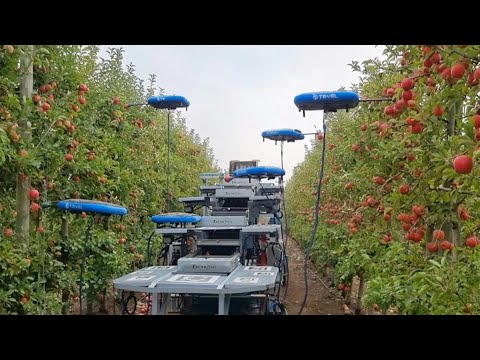
Revolutionizing Farming in Tanzania 🇹🇿 | Agriculture Drone Technology at Farm For the Future
 0:04:22
WATUMIAJI WA DRONE TANZANIA ''SHERIA NDOGO ZITATUMIKA''MKURUGENZI TCAA
 0:02:16
svGeosolutions - Drone-based data acquisition in Dar es Salaam (Tanzania)
 0:00:49
Tanzania’s first drone… almost✈️
 0:00:34
Man fly with a big drone 😱😱👌🏻#bigdrone #hamas #gaza #drone #fly #dronefly
 0:03:03
Drones helping to understand flood risk in Tanzania
 0:05:17
TANZANITE Drone shot_ Dar es Salaam Tanzania( director Black fish)
 0:00:51
US Embassy Tanzania exited about drone academy
 0:06:27
Drone revolution in Africa - Tech
 0:00:31
Amazing drone Piloting in Tanzania on Film Set
 0:04:14
Using Drone Technology to save Lives in Africa
 0:00:41
Tanzania Drone Shots S01E01
 0:00:46
Tanzania Drone
 0:02:44
Drones: A New Weapon in the Fight Against Malaria in Tanzania
 0:02:34
Drone technology to keep Kenyan elephants away from danger
 0:10:13
Drones | How do they work?
 0:01:11
Drone footage of a road in Tanzania Africa
 0:02:07
Kenyan university student designs and builds working drone
 0:02:00
Integration of Drone Technology Mapping Inpreparedness to Climate Change Effects
 0:01:39
Israel enlists drones, AI and big data to farm for the future | AFP
 0:02:37
Tanzania Beautiful Country DRONE Show Real 2020 drone by Kaka mussa
 0:06:20
South Africa Drone Laws Explained 2025
 0:01:37
'GMA' on Safari: Must-See Moments From Tanzania
Комментарии