filmov
tv
OSINT At Home #9 – Top 4 Free Satellite Imagery Sources

Показать описание
This tutorial is part 9 of the OSINT At Home series. It covers a common question that I get asked a lot, which is where I am getting my satellite imagery from. So I’ve made this tutorial on my four favourite satellite imagery sources and tools – and they’re all free.
This tutorial may suit you if you are keen to learn a little bit more about how and where to find satellite imagery for free. We all know commercial imagery can be expensive, so getting it for free is quite helpful.
If you are keen on learning more about geospatial intelligence (GEOINT), GIS, open source intelligence (OSINT), verification, geolocation or being able to visualise findings in research, journalism or movie making with satellite imagery, then you might find this tutorial helpful.
For those that don’t want to watch the whole video, below I have broken this tutorial down into chapters:
The OSINT At Home series is useful for those looking to find digital breadcrumbs and pick up some methods of open source intelligence (OSINT), digital investigations and good old plain research. No matter who you are, or where you are in the world, you can follow these tutorials from home with publicly available information to answer questions such as who, what, where and when.
FREE SATELLITE IMAGERY SOURCES
MORE RESOURCES
15 Free Satellite Imagery Data Sources:
SUPPORT ME:
MY SETUP:
CREDITS FOR THIS TUTORIAL
Imagery: Google Earth/Landsat Copernicus
Microsoft Maps, ESRI Imagery
Music Intro: World’s Fair – God Mode
 0:13:21
OSINT At Home #9 – Top 4 Free Satellite Imagery Sources
 0:06:11
OSINT Academy - Урок 9. Пошук в соціальних мережах
 0:00:32
When you first time install Kali linux for hacking 😄😄 #hacker #shorts
 0:15:40
OSINT At Home #10– How to map anything with freely available location data
 0:28:34
OSINT At Home #4 – Identify a location from a photo or video (geolocation)
 0:00:46
NEVER buy from the Dark Web.. #shorts
 0:00:23
free tools osint framework
 0:16:18
OSINT At Home #14 – How to find fires from space
 0:14:45
OSINT At Home #3 – Advanced Search Operators with Translate
 0:12:36
Using OSINT to find their house!
 0:05:10
How to Gather Info on Someone through OSINT
 0:14:39
OSINT At Home #6 – Find when an image was taken with satellite imagery
 0:06:07
Hackers Find Missing People For Fun
 0:00:34
OSINT Tools Have Changed #OSINT
 0:26:13
Session 9 - OSINT
 0:11:26
OSINT At Home #5 – Creating a panorama from a video for geolocation
 0:23:18
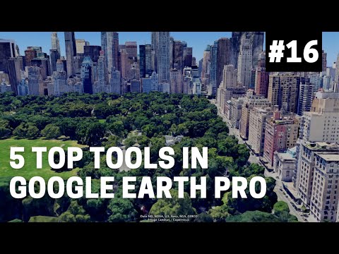
OSINT At Home #16 – My top five tools in Google Earth Pro
 0:18:29
OSINT At Home #1 - Starting an investigation with image reverse search
 0:06:59
OSINT At Home #13 – Using mountains to geolocate a photo or video
 0:09:16
OSINT At Home #12 – How to pull text from an image and use it in search
 0:18:02
OSINT At Home #19 – Top 3 Google Search Hacks for Investigators
 0:19:51
OSINT At Home #8 – Calculate time using shadows in a photo or video
 0:20:04
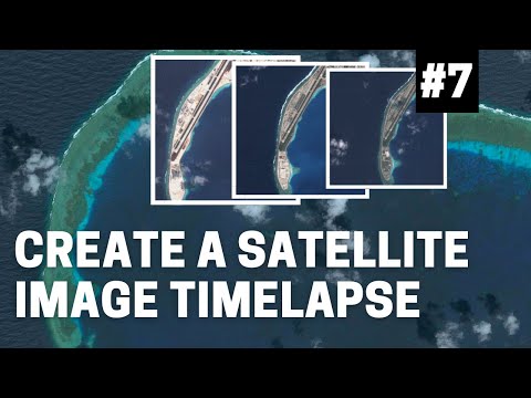
OSINT At Home #7 – How to create a satellite image time lapse
 0:00:37
OSINT: Maritime intelligence gathering tool
Комментарии