filmov
tv
How to map COVID-19 in QGIS # HCMGIS Plugin # QGIS Tutorial

Показать описание
In this video we are going to learn how to download Covid-19(Corona Virus) data into QGIS 3.14 and visualize it.We will use the HCMGIS plugin.Enjoy the video.
Don’t forget to SUBSCRIBE to my channel and get notified when I upload the new videos.Let me know what other topic you want me to tackle in the comment below.
Tips, tricks, tutorials and vlogs about all things GIS. I am in the business of sharing knowledge. So, if you're into maps, GIS, web mapping, webGIS this is the place to be.
FREE QGIS LESSONS LINKS.
Useful links to follow for absolute beginners to PRO! choose a link and follow the steps with simplified explanations across various Countries. Working on lesson 20 of 29.
Lesson 20.... Loading …..Loading....Loading....SUBSCRIBE!!! LIKE😃
Articles:
Created with Movavi Video Editor Plus
 0:06:07
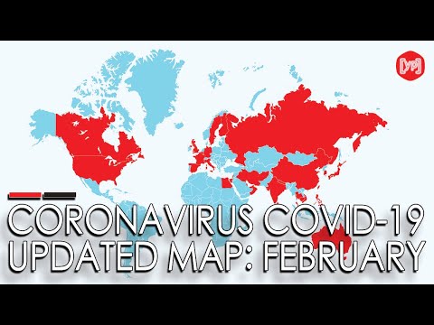
Coronavirus map: How the Covid-19 outbreak has spread around the world so far
 0:25:36
Johns Hopkins Launches New U.S. COVID-19 Map
 0:01:10
New York’s coronavirus map: See where COVID-19 spread in March and April
 0:03:16
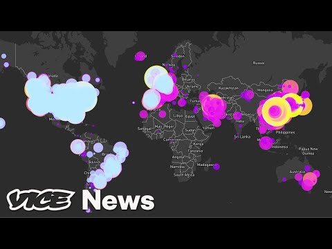
The International Team Mapping the Real-Time Spread of Coronavirus
 0:08:31
Map Timelapse of Coronavirus (COVID-19) Deaths: Year of 2020
 0:01:33
New CDC map measures spread of COVID-19 by county
 0:11:47
How coronavirus (Covid-19) spread day by day
 0:01:50
USA: COVID-19 Cases in Map by Counties (until December 31st)
 0:00:30
COVID-19 online tracking map available in English and Chinese
 0:01:44
COVID-19: New map on MOH website highlights areas visited by positive cases
 0:00:31
New options for the COVID-19 statistics world map
 0:19:34
COVID-19 Google Map Tracker - Coronavirus API | React Tutorial
 0:01:35
Coronavirus in Texas: DSHS interactive map shows all COVID-19 cases in Texas | KVUE
 0:01:16
Prepare a COVID-19 Map in Microsoft Excel
 0:02:23
Covid-19 tiers map: How England's coronavirus restrictions work
![[ Share ]](https://i.ytimg.com/vi/ATLzJiwT0Xo/hqdefault.jpg) 0:04:05
0:04:05
[ Share ] Tracking History Covid-19 with React Coronavirus Dashboard - Template & Map App React....
 0:01:21
Covid-19: New colour-coded map highlights areas frequented by positive cases | THE BIG STORY
 0:00:41
AAA provides road map for trips during COVID-19 pandemic
 0:00:54
Coronavirus map: See where COVID-19 spread in New York
 0:07:26
COVID-19 Cases Map Making
 0:02:01
A Computerized Map Can Predict the Next COVID-19 Outbreak
 0:02:30
Heat map reveals Detroit neighborhoods hardest hit by COVID-19
 0:03:59
The Story of Coronavirus (full version), English
 0:14:07
How to map COVID-19 in QGIS # HCMGIS Plugin # QGIS Tutorial
Комментарии