filmov
tv
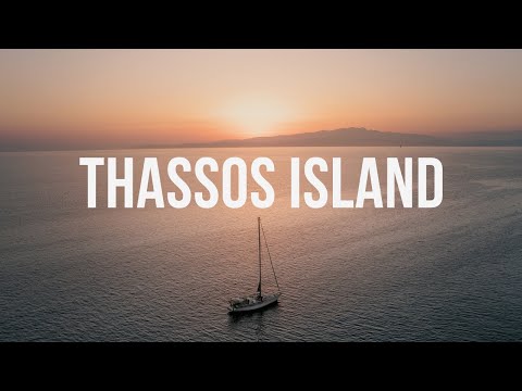
Landscapes of Thassos / Greece from above

Показать описание
Thassos is a Greek island in the North Aegean Sea. It is the northernmost major Greek island, and 12th largest by area.
The island has an area of 380 square kilometres and a population of about 13000. It forms a separate regional unit within the East Macedonia and Thrace region. The largest town and the capital is Thasos, officially known as Limenas Thasou, "Port of Thasos", situated at the northern side.
Thasos's economy relies on timber from its forests, marble quarries, olive oil, and honey. Tourism has also become important since the 1960s, although not to the level of other Greek islands.
Thassos island is located in the northern Aegean sea approximately 7 km from the northern mainland and 20 km south-east of Kavala, and is of generally rounded shape, without deep bays or significant peninsulas. The terrain is mountainous but not particularly rugged, rising gradually from coast to centre. The highest peak is Ypsario (Ipsario), at 1205 m, somewhat east of centre. Pine forest covers much of the island's eastern slopes.
The island is formed mainly by gneisses, schists and marbles of the Rhodope Massif. Marble sequences corresponding to the Falacron Marbles intercalated by schists and gneisses, are up to 500 m thick and are separated from the underlying gneisses by a transition zone about 300 m thick termed the T-zone consisting of alternances of dolomitic and calcitic marbles intercalated by schists and gneisses.
The rocks have undergone several periods of regional metamorphism, to at least upper amphibolite facies, and there was a subsequent phase of retrograde metamorphism. At least three periods of regional deformation have been identified, the most important being large scale isoclinal folding with axes aligned north-west. The T-zone is deformed and is interpreted by some authors as a regional thrust of pre-major folding age. There are two major high angle fault systems aligned north-west and north-east respectively. A large low-angle thrust cuts the gneiss, schist and marble sequence at the south-west corner of the island, probably indicating an overthrusting of the Serbomacedonian Massif onto the Rodope Massif.
 0:02:16
 0:00:17
 0:01:16
 0:05:58
 0:08:11
 0:10:23
 0:05:08
 0:12:44
 0:09:09
 0:10:11
 0:04:45
 0:00:14
 0:00:11
 0:00:43
 0:00:08
 0:25:28
 0:27:28
 0:07:44
 0:00:07
 0:00:20
 0:00:21
 0:05:05
 0:04:35
 0:00:16