filmov
tv
Manhattan’s Grid - EXPLAINED

Показать описание
Learn how to navigate Manhattan with this compact grid explanation.
Manhattan is one of the most intriguing cities in the world, but its street grid often confuses visitors. This short video lays out how the map of Manhattan NYC works, and will get you oriented to the key regions of the city, like lower Manhattan, the Upper East Side, or the Financial District.
We’d love to hear from you which maps and what cities you’d like to see explained, so leave a comment below!
Make sure to subscribe to the channel to learn how to travel smarter.
===== KEY MOMENTS =====
0:47 - Map Orientation
1:50 - Financial District
1:58 - Midtown Manhattan
2:09 - Upper East & Upper West Sides
2:19 - Harlem
2:28 - Avenues
3:38 - Lettered Avenues (Alphabet City)
3:54 - Streets
5:11 - Exceptions
6:58 - Broadway
===== FOLLOW ON SOCIAL =====
===== ABOUT BRIGHT TRIP =====
Bright Trip creates video-based travel courses to help you travel smarter. From our location courses that visually demystify places like Tokyo, London, Costa Rica, or Cape Town to our skills courses that cover how to travel solo, with kids, or how to document your travels more effectively and efficiently - each course is created by real travelers, like you, and aims to create a community of curious travelers that are eager to travel smarter.
#manhattan #travelguide #brighttrip #travelsmarter
 0:07:20
Manhattan’s Grid - EXPLAINED
 0:15:11
Manhattan's Grid, Explained
 0:06:16
Where Manhattan’s grid plan came from
 0:05:03
How to Navigate Manhattan, NYC - Understanding the City Layout
 0:20:36
Map of Manhattan's Broadway, Explained
 0:06:45
The Story of Manhattan's Grid Planning | Blessedarch's 5 minutes
 0:10:05
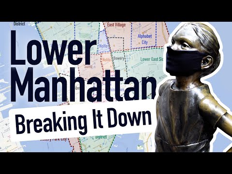
Lower/Downtown Manhattan | New York Layout Explained (with Map)
 0:16:01
Why is NYC a Grid? (Manhattan Streets + Avenues Explained)
 0:09:01
NEW YORK city Explained
 0:08:29
How the NYC Subway Works
 0:09:07
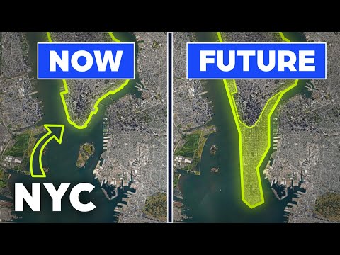
NYC’s Proposal to Extend Manhattan Island
 0:09:10
Upper West Side (UWS) | New York Layout Explained (with Map)
 0:05:30
NYC Map | Attractions – Where are things located in New York City?
 0:07:40
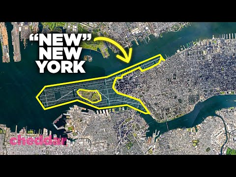
The Plan To Literally Expand New York City - Cheddar Explains
 0:01:33
Manhattan Grid Survey Bolt
 0:10:38
The Surprising Problems With The City Grid - Cheddar Explains
 0:08:48
Hudson Yards | New York City Explained
 0:09:19
7 Secrets Every NYC Tourist Needs To Know!
 0:10:58
Why New York City is so Huge
 0:04:49
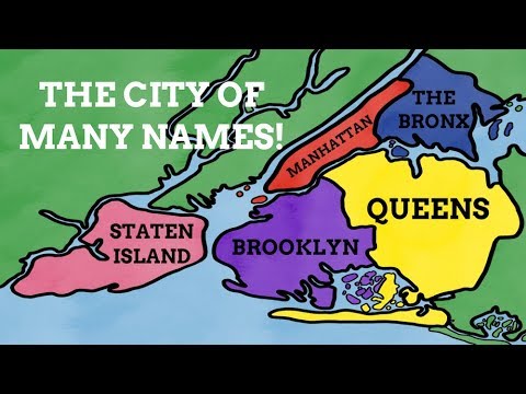
How Did The Boroughs Of New York Get Their Names?
 0:08:27
New York's Iconic Bridges Explained
 0:03:00
Electrifying Manhattan
 0:05:05
Washington DC Street Grid, Explained
 0:16:32
Architect Breaks Down 5 of the Most Common New York Apartments | Architectural Digest
Комментарии