filmov
tv
Processing MALÅ Geo Drone 80 data in GPR-SLICE

Показать описание
MALÅ GeoDrone 80 is the cutting-edge solution for unmanned surveying in areas that are dangerous or are hard to reach. It’s based on the latest GPR HDR technology by Guideline Geo.
This webinar introduces the MALÅ Geo Drone 80 and the GPR principle, talks about possible application areas and shows post-processing bathymetry data in GPR-SLICE.
Explore MALÅ Geo Drone 80 here:
This webinar introduces the MALÅ Geo Drone 80 and the GPR principle, talks about possible application areas and shows post-processing bathymetry data in GPR-SLICE.
Explore MALÅ Geo Drone 80 here:
 1:02:28
Processing MALÅ Geo Drone 80 data in GPR-SLICE
 1:02:28
Processing MALÅ GeoDrone data in GPR-Slice - Guideline Geo Webinar 04 June 2020
 0:31:58
The MALÅ GeoDrone
 0:58:34
Introduction to MALÅ MIRA HDR
 0:47:49
Introduction to MALÅ Object Mapper
 3:13:45
Guideline Geo | ABEM | MALÅ: Geophysical Solutions for Mapping the Subsurface
 0:04:21
MALÅ Autonomous
 0:02:13
MALA Widerange Dual Frequency GPR / Swapping Between Frequencies
 0:00:20
Airplane Accidently Came in the Runway During Landing Of A380...
 0:58:26
Introduction to MALÅ Vision Web
 0:03:37
MALÅ MIRA HDR Trailer Mounted 3D array GPR
 0:49:58
Webinar - Working with MALÅ Controller App and MALÅ Vision
 1:23:38
GPR: From Rebars to Glaciers
 0:35:08
Webinar - Ground Penetrating Radar (GPR) with Pine and GuidelineGEO
 0:02:08
MALÅ Easy Locator Core: Fitting the Core into the RTC (Rough Terrain Cart)
 0:00:43
GPR + Drone + UgCS Integrated System for Archaeological Surveying
 0:49:15
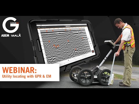
Utility locating with GPR & EM
 0:02:48
MALÅ Controller App demo
 0:01:09
GPR drone for underground water distribution pipeline detection
 0:03:51
Οδηγός ⚙️ OKM Gepard GPR | ΜΕΡΟΣ 2: Πώς να εκτελέσετε μια σάρωση με το νέο ραντάρ...
 0:01:08
MALÅ Easy Locator Core: How to make a 2D project
 0:40:17
Webinar - GPR Survey through water
 0:01:45
NOVO Detectors
 0:01:05
University of Lausanne develops drone-based GPR system for alpine glaciological applications
Комментарии