filmov
tv
28 June 2023 | Vox Weather Forecast

Показать описание
⚠️SEVERE WEATHER ALERTS⚠️
⚠️IMPACT-BASED WARNINGS⚠️
🟡 Yellow Level 4 Warning: Damaging Winds resulting in small vessels and personal watercrafts (e.g. kayaks) being at risk of taking on water and capsizing in a locality, as well as difficulty in navigation between Plettenberg Bay and Port Edward.
🟡 Yellow Level 4 Warning: Severe Thunderstorms resulting in heavy downpours, excessive lightning and large amounts of small hail causing localised damage to property, settlements, vehicles, and infrastructure as well as localised flooding is expected over central Free State and southern North West.
🟡 Yellow Level 2 Warning: Severe Thunderstorms resulting in heavy downpours, excessive lightning and large amounts of small hail causing localised damage to property, settlements, vehicles, and infrastructure as well as localised flooding is expected over the western parts of the Northern Cape.
🟡 Yellow Level 2 Warning: Disruptive rain resulting in localised flooding is expected southwestern coast of KwaZulu-Natal and the wild coast of the Eastern Cape.
📢 ADVISORIES 📢:
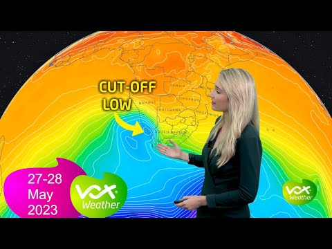
A cut-off low pressure is expected to affect the Western Cape and the Namakwa District (N. Cape) from Monday through to Wednesday. The public and small stock framers are advised that cold, wet and windy conditions can be expected with possible snowfalls on mountain tops on Wednesday.
#voxweather #cutofflow #cold #wind #rain #thunder #hail #warnings
Комментарии
 0:04:36
 0:04:36
 0:00:52
 0:00:11
 0:03:47
 0:03:19
 0:03:54
 0:00:28
 0:00:30
 0:00:15
 0:03:16
 0:04:06
 0:02:21
 0:02:49
 0:05:08
 0:03:24
 0:00:07
 0:03:23
 0:03:34
 0:00:21
 0:03:46
 0:03:50
 0:03:32
 0:00:52