filmov
tv
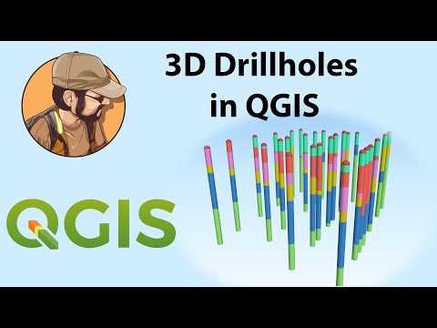
Display drillholes in 3D in Qgis and Create Sections

Показать описание
In this video i'll show you how to display drillholes in 3D with geology or assay data in Qgis and create cross sections automatically.
if you want to learn more about Qgis and master this free GIS tool check out my course here :
✅🔥🔥🔥Get All my courses for a Flat Price here 🔥🔥🔥 :
✅Get my trainings here :
✅Support me on Patreon here :
✅Buy me a Coffee here ☺️
✅Follow me on Facebook
✅ Download the Drillhole data here :
if you want to learn more about Qgis and master this free GIS tool check out my course here :
✅🔥🔥🔥Get All my courses for a Flat Price here 🔥🔥🔥 :
✅Get my trainings here :
✅Support me on Patreon here :
✅Buy me a Coffee here ☺️
✅Follow me on Facebook
✅ Download the Drillhole data here :
 0:13:55
Display drillholes in 3D in Qgis and Create Sections
 0:15:19
Drillhole 3D view and Section using QGIS (Tagalog)
 0:00:41
Geoscience Analyst (3D Modelling Software for drill hole data)
 0:00:21
3D Arc Gis Modelling Borehole Data
 0:28:12
Importing Drillhole Data into Carlson - 3D Geologic Modeling
 0:16:11
Qgis Tutorial : Visualize Block Models in 3D
 0:39:46
Mapinfo Pro Discover Drillhole Import and 3D Modelling | Full Tutorial
 0:20:52
3D drillhole design and monitoring in Geoscience ANALYST Pro v4.0
 0:29:08
Drillhole data interpretation – Geoscience ANALYST free 3D viewer and #Python
 0:04:54
Turn your borehole data into a complete exploratory 3D model in three easy steps
 0:06:02
3D Geological modelling : Part 3
 0:01:07
3D Geological Modelling - learn Geology
 0:03:59
3D Geological modelling : Part 4
 0:09:37
3D Geological modelling : Part 8
 1:13:39
Webinar 1/2014: Introduction to rapid building of a 3D model from drill holes and surface data
 0:02:20
Surfer New Feature: 3D Digitization
 0:05:23
3D Geological modelling : Part 14
 0:08:13
3D Geological Modelling: Digitizing and Wireframing in Oasis montaj and Target 8.1
 0:02:08
Vulcan 3D Geological Sculpting
 0:04:14
3D Geological modelling : Part 12
 0:05:02
3D Geological modelling : Part 2
 0:16:14
HOW TO DRAW BOREHOLES IN AUTOCAD CIVIL 3D PART-I
 0:14:39
Advanced block model and drillhole visualization - Geoscience ANALYST #freesoftware #3D
 0:07:05
Intro to Boreholes and Sections in 3D
Комментарии