filmov
tv
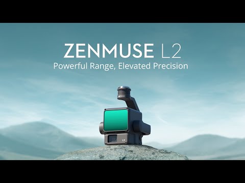
DJI ZENMUSE L2,LIDAR SYSTEM LAUNCHED

Показать описание
DJI ZENMUSE L2 FEATURE
DJI, officially revealed DJI Zenmuse L2 high-precision LiDAR system.
DJI Zenmuse L2 high-precision LiDAR system sets new standards for accuracy, efficiency, and ease of use.
Ideal for aerial surveying and mapping.
Offer combines frame amplitude LiDAR, high-precision inertial guidance, and a cutting-edge 4/3 CMOS mapping camera.
Zenmuse L2 comes in two variants
Basic version priced at $13,560
Flagship version at $14,690
Paired with DJI’s industry flight platform and DJI Intelligent Map software
Used in surveying and mapping, electric power, forestry, and engineering infrastructure.
Feature Worry-free Basic Combo” offers-
two low-cost replacement services
damaged components to be replaced with minimal hassle
Feature Worry-free Plus Combo
includes equipment protection
unlimited free repair services within the coverage quota
By including GNSS and high-precision self-research inertial guidance:
Acheives an accuracy of up to 4 centimeters and
Plane accuracy of up to 5 centimeter
allows for the Exact scanning of fine targets
Gives rapid acquisition of detailed point cloud data.
Begin data acquisition immediately for efficiency.
Cover an 2.5 square kilometers of point cloud data in a single flight.
Ideal for professionals who rely on timely and exact data for their projects.
Ease of use as its minimizes operational complexities.
Reduces the learning curve
Ensures who is new to LiDAR technology can harness its power effectively.
THANK YOU,
FOLLOW AND SUBSCRIBE.
 0:03:21
 0:01:01
 0:08:09
 0:03:23
 0:04:06
 0:00:28
 0:11:44
 0:14:04
 0:10:51
 0:01:00
 0:00:42
 0:02:53
 0:00:33
 0:00:16
 0:06:18
 0:01:00
 0:01:46
 0:04:38
 0:04:45
 0:06:41
 0:03:23
 0:04:22
 1:09:13
 0:24:15