filmov
tv
PyConBy: Martin Christen,Geospatial Data Processing, Analysis and Visualization using Python

Показать описание
PyCon Belarus 2019, Minsk
Data Science Track
Geospatial Data Processing, Analysis and Visualization using Python - Martin Christen
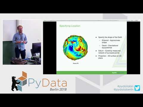
Geospatial data is data containing a spatial component – describing objects with a reference to the planet's surface. This data usually consists of a spatial component, of various attributes, and sometimes of a time reference (where, what, and when). Efficient processing and visualization of small to large-scale spatial data is a challenging task.
This talk describes how to process and visualize geospatial vector and raster data using Python and the Jupyter Notebook.
Then we go further to Fiona – a module which handles geospatial vector data in a very pythonic way. We move on to raster data processing using the rasterio module and briefly look at the pyproj module which is used for transforming spatial reference systems.
After that we look at GeoPandas which is basically an extended pandas module with support for geodata.
At the end we will see how maps are created using the cartopy and folium modules.
Data Science Track
Geospatial Data Processing, Analysis and Visualization using Python - Martin Christen
Geospatial data is data containing a spatial component – describing objects with a reference to the planet's surface. This data usually consists of a spatial component, of various attributes, and sometimes of a time reference (where, what, and when). Efficient processing and visualization of small to large-scale spatial data is a challenging task.
This talk describes how to process and visualize geospatial vector and raster data using Python and the Jupyter Notebook.
Then we go further to Fiona – a module which handles geospatial vector data in a very pythonic way. We move on to raster data processing using the rasterio module and briefly look at the pyproj module which is used for transforming spatial reference systems.
After that we look at GeoPandas which is basically an extended pandas module with support for geodata.
At the end we will see how maps are created using the cartopy and folium modules.
 0:40:42
 0:28:43
 0:26:33
 0:02:04
 0:02:29
 0:31:16
 0:25:52
 0:37:18
 0:30:08
 0:31:23
 0:14:18
 0:16:54
 0:28:34
 1:06:24
 0:47:15
 0:35:38
 0:49:09
 0:05:10
 0:29:35
 0:11:16
 3:06:05
 0:37:24
 0:28:03
 0:42:22