filmov
tv
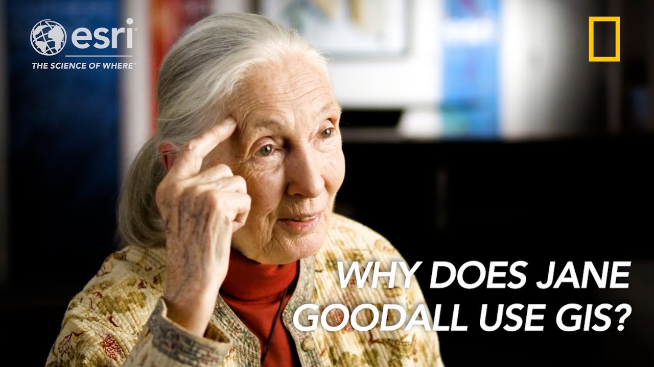
Jane Goodall and GIS Harnessing the Power of Geospatial Technology
Показать описание
Dive into the world of renowned primatologist and conservation hero, Jane Goodall! We all know Jane Goodall from her work preserving wildlife habitats. But in the process, it became impossible to ignore the fact that her local colleagues were facing equally devastating environmental threats to their own lives and livelihoods. By harnessing the power of app-based data collection, mapping and GIS technology, Jane Goodall and local forest monitors were able to start tackling these complex issues. In this video, she reveals how using GIS technology can help us to monitor and protect forests for generations to come.
This video was made by Esri in collaboration with National Geographic.
---------------------------------------------------------------------------------------------------
Follow us on Social Media!
This video was made by Esri in collaboration with National Geographic.
---------------------------------------------------------------------------------------------------
Follow us on Social Media!
 0:04:14
Jane Goodall and GIS Harnessing the Power of Geospatial Technology
 0:02:10
Creating A More Sustainable Future With GIS
 0:01:03
The True Challenge of Climate Change
 0:00:40
Esri's End to End 3D Drone Mapping Software
 0:50:04
IUCN WCC Hawaii: Satellite Remote Sensing for Conservation Actions- the Jane Goodall Institute
 0:03:38
How Does Plastic Get Into The Ocean?
 0:02:12
3 New Cartography Features in ArcGIS Pro
 3:26:25
Full Plenary Session - Day 1 - July 12
 0:05:32
Mapping Disaster Response
 0:00:34
Esri UC Plenary 2023 Highlights [Teaser]
 0:01:50
Exploring 2D/3D with National Geographic MapMaker
 0:38:06
Cities Simulate Climate Change with Mapping Technology
 0:02:54
2 New Spatial Analysis Tools in ArcGIS Pro
 0:48:24
Gombe 55 Fireside Chats with Lilian Pintea, Vice President of Conservation Science, the Jane Goodall
 1:00:00
Nonprofits and GIS: Take your mission to the next level
 0:01:34
Esri UC 2020 Plenary Trailer
 1:52:41
NASA ARSET: Using UN Biodiversity Lab to Support Biodiversity & Sustainable Development, Part 1/...
 0:58:53
Expanding Horizons: The Ethics of GIS Now and In The Future
 1:00:48
NASA ARSET: Remote Sensing for Conservation, Session 1/2
 0:01:42
Esri UC Plenary 2023 Highlights Reel
 0:10:13
Geo for Good User Summit 2014 - Wednesday 5 Pintea Jane Goodall Institute
 0:00:16
ESRI user conference 2023! San Diego CA #esriuc2023
 0:12:21
Remote Sensing in Nature Conservation
 0:02:01
Catalog Datasets in ArcGIS Pro
Комментарии