filmov
tv
Passage New Caledonia for Loyalty Islands HD
Показать описание
PREVIOUSLY POSTED BUT THIS ONE IN HD. Following some comments that our movie did not upload in HD I have re-posted hoping this time the issue is resolved. I have no idea why it did not upload HD last time so sorry for this folks :)
Previously Published on Aug 15, 2016
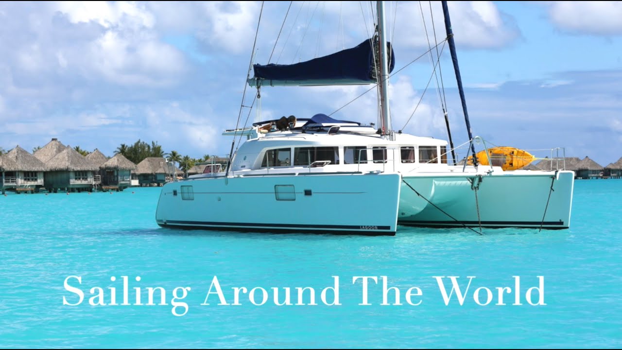
Impi is a catamaran sailing around the world. We share some techniques in navigation we use to sail in reef infested waters confidently - we are preparing to sail from New Caledonia for The Loyalty Islands and will anchor off the SE side of New Caledonia in a reef fringed bay called Port de Goro.
Navigational aids include SAS PLANET, Open Cpn and the chart plotter.
Port de Goro has some interesting sights including the remnants of a Japanese iron ore loading Wharf which stopped when France joined America ad England in an embargo to halt the flow of natural raw materials to Japan just before the bombing of Pearl Harbour.
Previously Published on Aug 15, 2016
Impi is a catamaran sailing around the world. We share some techniques in navigation we use to sail in reef infested waters confidently - we are preparing to sail from New Caledonia for The Loyalty Islands and will anchor off the SE side of New Caledonia in a reef fringed bay called Port de Goro.
Navigational aids include SAS PLANET, Open Cpn and the chart plotter.
Port de Goro has some interesting sights including the remnants of a Japanese iron ore loading Wharf which stopped when France joined America ad England in an embargo to halt the flow of natural raw materials to Japan just before the bombing of Pearl Harbour.
 0:19:29
Passage New Caledonia for Loyalty Islands HD
 0:19:59
Sailing Chepenehe LOYALTY ISLANDS
 0:07:25
Sailing New Caledonia - Loyalty Islands & Gadji (Isle of Pines)
 0:06:12
The Loyalty Islands, where time slows down - (6 min)
 0:16:05
SAILING FLYING BE FREE New Caledonia
 0:23:34
Sailing Chepenehe LOYALTY ISLANDS
 0:05:25
Family living on a boat, sailing New Caledonia to loyalty Islands Ep - 6 (The Cosmos)
 0:16:36
Sailing the LOYALTY ISLANDS, LIFOU, DOUEOULOU
 0:50:01
Sail New Caledonia East Coast
 0:01:24
'Go East' Rally fleet arrives in New Caledonia
 0:37:45
IMPI TAKES DIESEL FROM A SHIP AT SEA - passage New Zealand
 0:37:02
New Zealand New Caledonia TO GO OR NOT TO GO
 0:14:42
E10 - New Caledonia Here We Come
 0:16:00
Small Errors CATASTROPHIC RESULTS - Passage To New Caledonia - Day 3 (Sailing SV Sarean) Ep. 74
 0:04:21
Zefr sails to New Caledonia
 0:07:43
The trip of a LIFETIME |Sailing from New Caledonia to New Zealand|
 0:01:02
4.6 Earthquake Loyalty Islands, New Caledonia 6-12-22
 0:03:23
Resolute visits the Loyalty Islands
 0:03:17
LA GRANDE TERRE - Episode 2. New Caledonia /// Panasonic GH5 / DJI MINI 2 / GOPRO HERO 7 ///
 0:11:46
OCEAN PASSAGE Australia to NEW CALEDONIA - 4 Seasons of Wind in One Day (Sailing SV Sarean) EP. 73
 0:43:00
THANK YOU AUSTRALIA - HELLO NEW CALEDONIA
 0:04:06
Passage from New Zealand to New Caledonia
 0:17:18
SAILING to NEW CALEDONIA: SAILING the SOUTH PACIFIC (Part 2)
 0:07:07
New Caledonia and back to Australia
Комментарии