filmov
tv
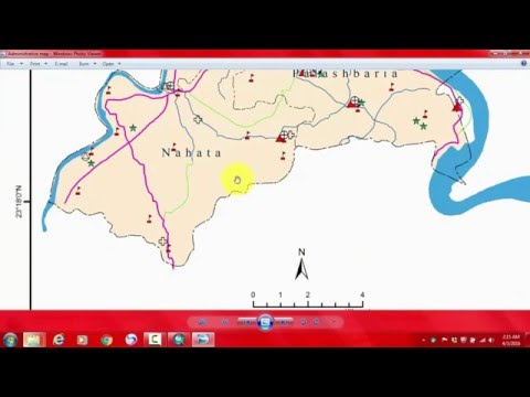
How to convert polygon to point in ArcMap | Features to Point || Village shapefile to point || Clip

Показать описание
In this short tutorial, I have explained how to convert polygon to point in ArcGIS, also how to clip vector data, labeling of features.
*******************************************************************************************************
UDEMY Course
Rainfall Indices for MCDM models in ArcGIS: how and Why?
Preparation of 10 important rainfall indices for MCDM models and time series analysis using Excel, ArcGIS and QGIS
Click this link only Rs. 390 or 12.99 USD
*******************************************************************************************************
Advances in Geographical Research
Learn research methodology online with courses of Advanced Geospatial technologies, statistical methods, and Machine Learning algorithms.
*******************************************************************************************************
WhatsApp Group for subscribers:
Group 1
Group 2
***************************************************************************************
Playlist
1. Basics Remote sensing
2. MCDM and ML
3. Arc GIS
4. Free online data download
5. Advanced Excel
SUBSCRIBE to the YouTube channel Dr. Jayanta Das, to get notification about our recent lecture uploads on Advances in Geographical Research.
ALL RIGHTS RESERVED.
#DrJayantaDas
*******************************************************************************************************
UDEMY Course
Rainfall Indices for MCDM models in ArcGIS: how and Why?
Preparation of 10 important rainfall indices for MCDM models and time series analysis using Excel, ArcGIS and QGIS
Click this link only Rs. 390 or 12.99 USD
*******************************************************************************************************
Advances in Geographical Research
Learn research methodology online with courses of Advanced Geospatial technologies, statistical methods, and Machine Learning algorithms.
*******************************************************************************************************
WhatsApp Group for subscribers:
Group 1
Group 2
***************************************************************************************
Playlist
1. Basics Remote sensing
2. MCDM and ML
3. Arc GIS
4. Free online data download
5. Advanced Excel
SUBSCRIBE to the YouTube channel Dr. Jayanta Das, to get notification about our recent lecture uploads on Advances in Geographical Research.
ALL RIGHTS RESERVED.
#DrJayantaDas
 0:03:57
How To Convert Polygon To Point in ArcGIS
 0:02:13
How to Convert Polygon to Line in ArcGIS
 0:03:32
How to convert Polygon to Point in ArcGIS 10.4
 0:03:09
How to convert polygon to line in ArcMap
 0:03:02
How to convert polygon to point in ArcMap | Features to Point || Village shapefile to point || Clip
 0:01:11
ESRI ArcGIS: Polygon to Point Feature Conversion
 0:07:51
How to convert Polygon feature to Line feature
 0:12:49
How to do polygon to polyline conversion & transfer shapefile attributes into Autocad using #Arc...
 0:04:05
arcgis pro convert polygon to raster
 0:02:13
Conversion of polygon to raster in ArcGIS
 0:01:03
QGIS Tutorial - Convert line to polygon
 0:04:24
HUGE POLYGON UPDATE (How to MIGRATE Matic to POL)
 0:02:53
QGIS : How to convert polygon to line and line to polygon|Create Centroids|Convert Line to Polygon
 0:01:13
How to convert shapefile of polygon to polyline in ArcGis
 0:01:00
How to Convert Polygon Islands to Objects in Cinema 4D 2023 @MaxonVFX
 0:11:31
Area Conversion - Polygon to Square
 0:01:04
Convert from Multi-polygon to single-polygon QGIS Desktop
 0:04:11
ArcGIS Pro Polygon to Polyline
 0:02:24
QGIS Tutorial || Polygon to Line Shape file Convert || Poly to Line conversion using QGIS
 0:01:50
Convert Line feature to Polygon using ArcGIS
 0:04:29
HOW TO CONVERT POLYGON ETH TO REGULAR ETH (Step By Step Tutorial) ✅
 0:01:16
ESRI ArcGIS: Polygon to Polyline Conversion
 0:05:50
How to convert Polygon to raster data and raster to polygon . Geospatial Channel
 0:06:30
01 convert polygon to nurbs curves
Комментарии