filmov
tv
Installation of Anaconda and create an environment for PCRaster, GDAL and QGIS

Показать описание
This video is part of the open course Programming for Geospatial Hydrological Applications.
In this course you'll learn an essential skill for researchers dealing with (spatial) data. With scripting you can better control your analysis using command line tools. You can also automate your procedures by writing batch scripts. Furthermore, you can process your data and make models using Python and its useful libraries.
The online learning course on Programming for Geospatial Hydrological Applications is part of the Climate Services for Water Management (CliMWaR) project, funded by the Flemish UNESCO Science Trust Fund (FUST) from the Government of Flanders in Belgium.
Please subscribe to the PCRaster mailing list.
#GISOCW #IHEDelft
 0:05:26
How to Install Anaconda on Windows 10 (2022)
 0:14:39
Anaconda Beginners Guide for Linux and Windows - Python Working Environments Tutorial
 0:12:31
Anaconda and Visual Studio Code Setup
 0:12:26
How to create conda environment | Anaconda installation | Ashutosh Tripathi
 0:06:34
How to Create Virtual Environment in Anaconda | Python
 0:08:05
Install Anaconda Python, Jupyter Notebook, Spyder on Windows 10/11 [2023 Update] Anaconda Navigator
 0:11:25
Python Tutorial: Anaconda - Installation and Using Conda
 0:13:07
Install Anaconda Python, Jupyter Notebook And Spyder on Windows 10
 0:14:22
How to use Anaconda for Python Programming On Windows 11
 0:04:02
How to Create and Activate Virtual Environments in Anaconda (Conda Create)
 0:10:03
Installing Jupyter Notebooks/Anaconda | Python for Beginners
 0:06:32
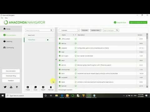
How to Install all packages in anaconda navigator - Anaconda Package installation.
 0:07:21
How to Integrate Visual Studio Code with Anaconda
 0:19:57
ANACONDA Tutorial for Python | How to Install Anaconda on Mac OS and How to use Anaconda for Python
 0:03:22
How to Create Environment in Anaconda | Creating an Anaconda environment
 0:10:50
Install Anaconda Python, Jupyter Notebook And Spyder on Mac / MacOS (2024)
 0:07:25
How to Install Anaconda (Python) and Jupyter Notebook on Windows 10
 0:03:26
How to install anaconda and create a virtual environment
 0:09:05
TensorFlow Tutorial 1 - Installation and Setup Deep Learning Environment (Anaconda and PyCharm)
 0:05:52
Create Python virtual environment using Anaconda Navigator
 0:10:28
Properly Install Anaconda on Linux (Ubuntu) and Test Installation
 0:10:26
Install Anaconda and Creating Env (Linux - Ubuntu 20.04)
 0:04:09
How to Create first Jupyter Notebook on Anaconda | 2023
 0:07:28
Installation of Anaconda and create an environment for PCRaster, GDAL and QGIS
Комментарии