filmov
tv
Algorithms for Object Detection and Tracking Using Lidar Data

Показать описание
Lidar is one of the most reliable sensors used for robotics perception and autonomous navigation. Its output can be used for both self-awareness and situational awareness. For example, a lidar point cloud can be processed to estimate the ego vehicle’s motion and detect and track nearby objects.
In this video, the presenter walks you through two examples that show how to detect, classify, and track vehicles by using lidar point cloud data captured by a lidar sensor mounted on an ego vehicle.
The lidar data is recorded from a highway-driving scenario. The examples illustrate the workflow in MATLAB® for processing the point cloud and tracking the objects. The point cloud data is segmented to determine the class of objects using the PointSeg network. A joint probabilistic data association (JPDA) tracker with an interactive multiple model (IMM) filter is used to track the detected vehicles.
--------------------------------------------------------------------------------------------------------
© 2020 The MathWorks, Inc. MATLAB and Simulink are registered trademarks of The MathWorks, Inc.
 0:16:05
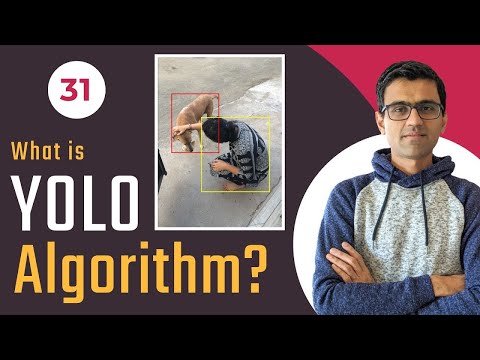
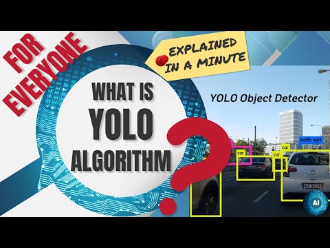
What is YOLO algorithm? | Deep Learning Tutorial 31 (Tensorflow, Keras & Python)
 0:00:31
YOLOv8 Comparison with Latest YOLO models
 0:05:28
Top 10 Object Detection Algorithms in Machine Learning
 0:00:15
Real-time Object Tracking with YOLOv8 and SORT Algorithm 🚀
 0:02:35
Object Detection Explained | Tensorflow Object Detection | AI ML for Beginners | Edureka
 0:07:38
How computers learn to recognize objects instantly | Joseph Redmon
 0:35:55
Algorithms for Object Detection and Tracking Using Lidar Data
 0:07:02
C4W3L09 YOLO Algorithm
 0:14:30
7. OBJECT DETECTION MODEL USING PYTHON || HUGGINGFACE OBJECT DETECTION MODEL USING API INTEGRATION 😊...
 0:30:21
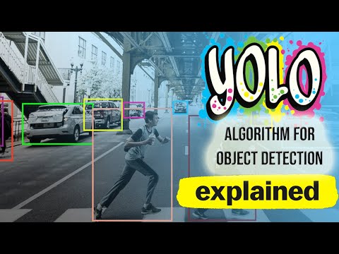
YOLO (You Only Look Once) algorithm for Object Detection Explained!
 4:33:47
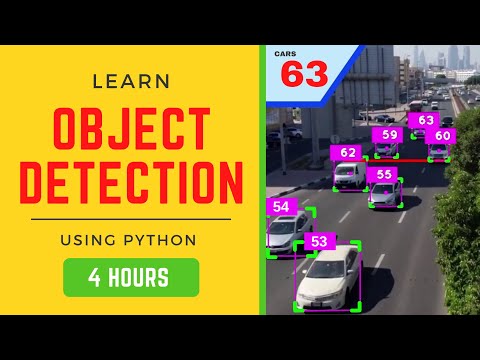
Object Detection 101 Course - Including 4xProjects | Computer Vision
 0:08:06
Different Algorithms For Object Detection in Computer Vision | Object Detection Techniques
 0:17:04
How YOLO Object Detection Works
 0:05:07
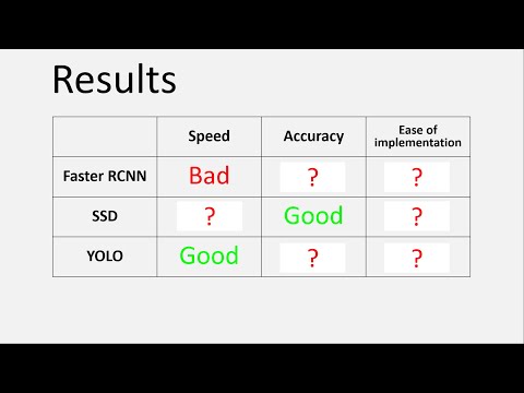
Object Detection best model / best algorithm in 2023 | YOLO vs SSD vs Faster-RCNN comparison Python
 0:10:45
Object Detection in 10 minutes with YOLOv5 & Python!
 0:01:19
Object Detection Algorithm Comparison
 0:02:32
Image classification vs Object detection vs Image Segmentation | Deep Learning Tutorial 28
 0:02:55
What is the YOLO algorithm? | Introduction to You Only Look Once, Real Time Object Detection 24
 0:31:30
CV3DST - Object Detection 1
 0:47:08
TFOD 2.0 Custom Object Detection Step By Step Tutorial
 1:00:13
Object Tracking from scratch with OpenCV and Python
 0:14:53
Object detection using YOLO v4 and pre trained model | Deep Learning Tutorial 32 (Tensorflow)
 0:04:58
Sliding Window Object Detection | Deep Learning Tutorial 30 (Tensorflow, Keras & Python)
 0:47:21
YOLO Object Detection Using OpenCV And Python | Python Projects | Python Training | Edureka
Комментарии