filmov
tv
Iceland's Eyjafjallajökull Volcanic Ash Plume [1080p]

Показать описание
During April and May, 2010, the Eyjafjallajökull volcano on Iceland's southern coast erupted, creating an expansive ash cloud that disrupted air traffic throughout Europe and across the Atlantic. This animation shows the flow of this ash cloud for three days in early May on an hourly basis as sensed from a geostationary satellite. The ash cloud heights were determined using an approach developed by NOAA/NESDIS/STAR for the next generation of Geostationary Operational Environmental Satellite (GOES-R). Data from EUMETSAT's Spinning Enhanced Visible and Infrared Imager (SEVIRI) was used as a proxy for GOES-R Advanced Baseline Imager (ABI) data. This data is shown intersecting with the CALIPSO Parallel Attenuated Backscatter curtain on May 6th.
credit: NASA/Goddard Space Flight Center Scientific Visualization Studio
credit: NASA/Goddard Space Flight Center Scientific Visualization Studio
 0:00:42
Iceland's Eyjafjallajökull Volcanic Ash Plume [1080p]
 0:02:39
Iceland Eruption Disrupts Travel | Flashback | NBC News
 0:00:45
Iceland's Volcanic Ash Plume
 0:00:17
Iceland Volcano Ash Plumes
 1:06:24
The Icelandic Volcano That Brought Europe to a Standstill (4K Documentary)
 0:00:47
Iceland volcano erupting, 2010
 0:03:53
Fiery images - the volcano photographer in Iceland | DW English
 0:15:10
Eyjafjallajokull Case Study
 0:01:32
Eyjafjallajokull volcano in Iceland erupts: 15 april 2010
 0:59:08
BBC: Volcano Live special: 'Iceland Erupts' (2012 Documentary)
 0:18:01
Ash Cloud and Time Lapse Footage - Iceland
 0:01:22
Eyjafjallajökull dust cloud
 0:02:20
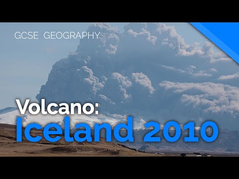
Eyjafjallajökull, Iceland 2010 (Volcano Case Study) | AQA GCSE 9-1 Geography
 0:00:47
Iceland volcano Eyjafjallajokull erupting, April 2010
 0:02:08
Iceland's Eyjafjallajökull volcano erupts, stopping all air traffic in NW Europe:
 0:06:31
Iceland Volcano Eruption - Eyjafjallajökull
 0:01:07
Iceland's Eyjafjallajokull volcano erupts: 15 April 2010 photographs
 0:02:56
Eyjafjallajökull: Iceland's famous volcanic eruption
 0:00:29
Eruption of Eyjafjallajökull Volcano, Iceland Via Satellite
 0:00:25
Iceland Volcano Ash plumes over the Eastern Atlantic and Western Europe May 2010
 0:01:50
As Iceland's Eyjafjallajökull volcano erupts, EU struggles to coordinate response
 0:00:24
Drone vs volcano 🌋 #fpv #volcano #iceland
 0:00:30
Air Travel Disruption Across Europe 2010 - Eyjafjallajökull: The Iceland Volcano
 0:04:15
Not even volcano Eyjafjallajökull could stop the Icelandic contractors
Комментарии