filmov
tv
What is geophysical logging?
Показать описание
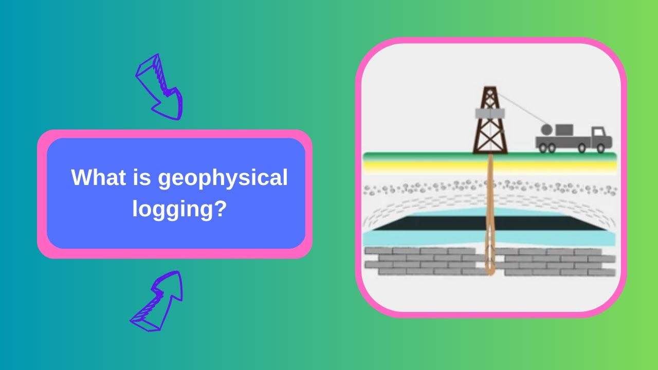
Geophysical logging is a method of investigating the subsurface geology using various geophysical techniques to obtain measurements of the physical properties of rocks and soils. The measurements are obtained by lowering specialized tools, such as geophysical probes, into boreholes that have been drilled into the ground.
Geophysical logging provides valuable information about the subsurface geology, including the thickness and lithology of geological formations, the location and orientation of fractures and faults, and the presence of hydrocarbons, minerals, or groundwater. The technique is widely used in geological, environmental, and engineering applications, such as mineral exploration, geotechnical site investigations, and groundwater resource evaluations.
The geophysical tools used in logging can measure a range of physical properties of rocks and soils, including electrical conductivity, magnetic susceptibility, natural radioactivity, and acoustic properties. The measurements are typically recorded in real-time and are used to create detailed logs that show the variations in physical properties with depth.
Some common geophysical logging techniques include resistivity logging, electromagnetic logging, gamma-ray logging, sonic logging, and borehole imaging. These techniques have different advantages and limitations depending on the geological conditions and the specific application.
In summary, geophysical logging is a valuable tool for investigating subsurface geology and obtaining important information about the physical properties of rocks and soils. It allows us to better understand the geological environment and make informed decisions about resource exploration, environmental management, and engineering design.
Please don't forget to subscribe to my channel and turn on notifications.
 0:02:27
What is geophysical logging?
 0:08:18
Introduction to Well Logging
 0:23:56
Geophysical Logging - Jeff Hoy, JLH Geologic Consulting
 0:02:31
How Borehole Geophysics Works
 0:00:47
Borehole Geophysical Well Logging Electronic Auto Calculate For Deep Well
 0:03:05
The Essence of Geophysical Logging
 0:00:45
geophysical well logging at 8//11/2018(4)
 0:07:06
What is well logging ?
 0:59:41
Assessing the CO2 Sequestration Potential of the Paleogene Wilcox Group, Onshore Texas, USA
 0:00:20
In an open hole, well logging operations during logging tools got stuck-Fishing Operations.
 0:00:43
geophysical well logging at 8//11/2018(3)
 0:10:09
Planning for geophysical logging at a geophysical test site
 0:04:41
Geophysical Logging #operation #coal Exploration#Tripot Settings
 0:01:43
Basic principles of the seismic method | Seismic Principles
 0:27:33
Synergistic Review of Borehole Geophysical Logs
 0:00:41
RCQ-2D Borehole Geophysical Well Logging Equipment For Natural Gamma PS Resistivity Caliper Logging
 0:03:59
Van Tour - Geophysical Logging Field Unit
 0:28:15
'GEOPHYSICAL LOGGING FOR HYDROGEOLOGY' with authors John H. Williams & Frederick L. P...
 0:01:59
Orebody Knowledge - Geophysical Logging Service, Downhole Assay
 0:00:15
drilling, Mudlogging Unit, inside view, Oil and Gas field, #shorts
 0:01:07
GDQ-2D Well Geophysical Logging Equipment (3) Use winch
 0:00:28
geophysical well logging at 8//11/2018(2)
 0:05:42
Proses geophysical well logging
 0:02:16
Geophysical Modes of Acquisition
Комментарии