filmov
tv
Create NDVI Index in Pix4D Fields

Показать описание
How to create NDVI index in Pix4D Fields
 0:15:17
Create NDVI Index in Pix4D Fields
 0:07:56
Create NDVI Index and Reflectance Maps in Pix4D Mapper
 0:03:48
PRESCRIPTION MAPPING PART 3 | CREATING NDVI INDEX ON PIX4D FIELDS
 0:03:04
PRESCRIPTION MAPPING PART 1 | CREATING NDVI INDEX ON PIX4D FIELDS
 0:04:51
PRESCRIPTION MAPPING PART 2 | CREATING NDVI INDEX ON PIX4D FIELDS
 0:08:53
Vegetation indices | PIX4Dfields Beginner Tutorials
 0:08:58
Pix4Dmapper Index Calculator tutorial - Pix4Dmapper Video Tutorial 8
 0:02:41
How to | Pix4Dfields | Create A NVDI Index For Agricultural Drones
 0:04:38
NDVI Map & Pix4Dfields - Creating An Operation Layer
 0:25:31
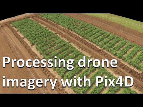
How to process RGB and multispectral drone imagery in Pix4D (Drones in agriculture series, 2/10)
 0:06:04
Automatic DTM generation and Contour Lines - Pix4Dmapper Video Tutorial 13
 0:09:08
NDVI Map & Pix4Dfields - Exporting Multispectral Data
 0:04:06
NDVI Mapping to Autonomous Field Spraying Workflow Explained
 0:04:17
Drone NDVI Environmental Monitoring/Scanning in Python + VisualSFM vs. PIX4D
 0:03:51
DSM: 3D Orthomosaic Index Creation
 0:00:59
Crop Monitoring: Export And Analyze Maps In Pix4D Fields
 0:07:51
Tutorial PIX4Dfields: Trial Plot Analysis & Statistical Comparison with Multispectral Imagery
 0:03:11
Pix4Dfields 1.8 - New tools for changing vegetation index color palette
 0:06:41
Pix4dfields 2: ortomosaicos e indices espectrales de bandsa visible
 0:01:27
How to generate an NDVI index with AgroSENSE
 0:04:50
How to map your crop in minutes | PIX4Dfields in-field Tutorials
 0:04:45
How to create a 3D fly-through video animation - Pix4Dmapper Video Tutorial 9
 0:07:02
Zonation and Prescriptions in PIX4Dfields | PIX4Dfields Beginner Tutorials
 0:01:05
Creat NVDI Layer To Map Prescription Spray Routes For Your Agricultural Drone!
Комментарии