filmov
tv
Mapping and Geospatial Data Analysis Using MATLAB

Показать описание
In this webinar we present key features in the Mapping Toolbox including creating maps, accessing Web Map Service (WMS) servers, analyzing terrain data, performing geodetic calculations and numerical simulations. The webinar also highlights related toolboxes that complement geospatial applications such as Image Processing Toolbox and Parallel Computing Toolbox.
Key mapping functionality include:
• MathWorks introduction
• Mapping Toolbox introduction
• Oil spill simulation: shapefile, map creation, numerical simulation
• Weather avoidance: WMS, image processing, geographic calculations, navigation
• Terrain analysis: digital elevation models, KML export, viewshed
• Related toolboxes
 0:08:03
What Is GIS? A Guide to Geographic Information Systems
 0:01:03
The Power of Geospatial Data Analytics – Dassault Systèmes
 0:37:50
Mapping and Geospatial Data Analysis Using MATLAB
 0:15:59
TNGIC Forum 2021 - Interactive Mapping and Geospatial Analysis Using Leafmap
 0:00:16
Spatial Analysis in ArcGIS Pro #SpatialAnalysis #ArcGISPRO #DataAnalytics #Geospatial #DataScience
 0:05:11
What is GIS?
 0:08:25
20 GIS Tools Every Geospatial Analyst Should Know
 0:01:45
What is geospatial data?
 0:00:18
🌍 ✅Geospatial Data EXPLAINED by GIS Expert #data #maps #shorts
 1:00:22
Full Course - Python for Geospatial Data Analysis for Beginners
 0:15:12
FASTEST Way to Learn Modern GIS and ACTUALLY Get a Job
 0:53:37
GeoSpatial Analytics | 8 Hours Course | Day 1 | 360DigiTMG
 0:32:27
The Future of Open Geospatial Data for Analysis and Mapping
 0:00:33
DIfferences between Geospatial and GIS data
 0:19:49
Differences between the Geospatial Data Science approach and traditional desktop GIS
 0:52:01
Webinar 5 Interactive Mapping and Geospatial Analysis in the Cloud Using Open-Source GIS
 0:06:34
Geospatial data analysis: GIS, geocoding, and spatial statistics
![[46] Geospatial Data](https://i.ytimg.com/vi/EXHG-bLGT0Y/hqdefault.jpg) 1:01:42
1:01:42
[46] Geospatial Data and Maps with Python (Christy Heaton)
 1:26:20
Interactive Mapping and Geospatial Analysis
 0:04:21
Plotting Geospatial data with Python - Folium - Part 1
 0:24:46
How I Would Learn GIS (If I Had To Start Over)
 0:03:40
Geospatial Data Scientist
 0:10:33
Clustering in Geospatial Applications: Which Model To Use??
 0:19:24
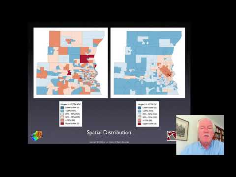
Week 1a: What is spatial analysis? (Introduction to Spatial Data Science)
Комментарии