filmov
tv
Import CSV Points and CAD Drawings into Hi-Survey Road with Hi-Target GPS

Показать описание
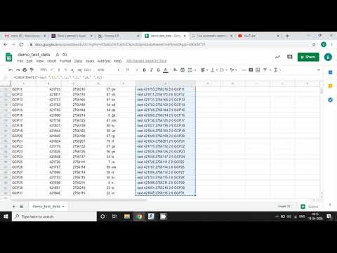
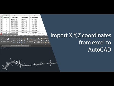
Hi-Survey Road is an application designed by the Hi-Target for Land survey and road construction purposes. For the purpose of this video, it details how to import csv (X,Y,X,L) points and AutoCAD drawings unto the software interface for survey works.
Unlock the full potential of your Hi-Survey Road software with our comprehensive guide on importing CSV and CAD files using Hi-Target GPS! In this video, we’ll walk you through the step-by-step process of seamlessly integrating your data for more efficient surveying and mapping.
Unlock the full potential of your Hi-Survey Road software with our comprehensive guide on importing CSV and CAD files using Hi-Target GPS! In this video, we’ll walk you through the step-by-step process of seamlessly integrating your data for more efficient surveying and mapping.
 0:04:22
 0:02:08
 0:01:31
 0:08:01
 0:01:56
 0:03:25
 0:01:40
 0:11:55
 0:07:01
 0:03:46
 0:00:36
 0:01:36
 0:03:52
 0:09:13
 0:02:39
 0:03:00
 0:02:28
 0:11:26
 0:01:58
 0:00:44
 0:07:51
 0:04:10
 0:00:58
 0:04:38